
Ireland’s railway network has declined, with the number of stations in operation dropping from 1,137 in 1914 to 250 by the turn of the millennium. Maintaining the integrity of these historic public assets while enabling modernisation requires a balance of advanced technology and expert execution.
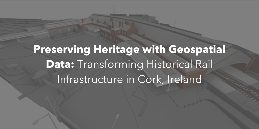
The team at Murphy Geospatial used our expertise in advanced surveying techniques, infrastructure and the preservation of assets at Cork’s historic Kent Station. The team deployed different surveying methods to create a precise digital model that will support the station’s future development and preservation needs.
Leveraging innovation for public infrastructure
Kent Station serves thousands of passengers each day and has been a key part of Cork’s public transportation network for generations. To ensure this essential hub remains both operationally efficient and historically preserved, Murphy Geospatial used 3D laser scanning technology to capture a comprehensive, precise digital record. This Revit model now serves as a critical resource for architects, engineers, and planners in making informed decisions about future refurbishments and retrofits.
The power of geospatial data in asset management
Through detailed reality capture, our 3D model allows stakeholders to simulate potential renovations, visualise structural updates, and identify areas for optimisation—all without physical disruption. As a digital asset, the model also plays a role in sustainable practices by minimising the need for repeated on-site visits and supporting data-informed decisions that extend the station’s functional life.
Benefits for health and safety, efficiency, and heritage preservation
By digitising Kent Station, Murphy Geospatial supports several critical outcomes:
- Enhanced safety: Accurate structural data helps ensure that safety standards are maintained throughout future modifications.
- Operational efficiency: With data centralised in a Revit model, planning and maintenance can be more precise, reducing potential for downtime.
- Historical preservation: Advanced digital records protect the architectural heritage of this historic site, enabling future teams to access and utilise accurate data for years to come.
Looking for an expert surveyor in Cork to provide precise geospatial data for your next infrastructure project?
Contact us today to learn how our geospatial solutions can elevate your project from start to finish.
To find out more about the importance of accurate geospatial data, read our insight: Why the AEC Industry Needs Measurement Standards: Who is Measuring the Measurement?