
SECTOR
Utilities
Overview
The utilities sector focuses on the distribution of power and utilities, above and below ground. It’s fundamental to ensure that design, construction, maintenance, retrofitting and asset management can be carried out without any adverse effects on essential services. Additionally, this sector faces significant pressure to actively participate in the energy transition to meet the evolving requirements for energy and data consumption in the future.
Accurate geospatial survey data and expert interpretation is integral to the safe and efficient construction and continued running the distribution of power and utilities, whilst minimising disruption.
Read more about our utilities projects.
Project life cycle
Our solutions are valuable across the life cycle of your utilities project. Contact our team today to unlock the true value of your geospatial data.

Our Solutions
Our geospatial consultants will understand your project goals and challenges. Explore our most requested solutions for projects in utilities below and how these are developed to meet your project needs.

GEOSPATIAL CONSULTING_
Leverage precise location-based data through advanced technologies and processes, alongside oversight to ensure data accuracy and compliance.

GEOSPATIAL MAPPING_
Geospatial data capture to provide comprehensive records and information of your asset.

GEOSPATIAL MANAGEMENT_
Your custom Geospatial Management Plan delivered by our experienced Geospatial Managers to ensure consistency, accuracy, and conformance to BEP and AIM criteria for all spatial data.

GEOSPATIAL ENGINEERING_
End-to-end project support, bridging the gap between digital design and real-world implementation.

OIL AND GAS NETWORKS
For oil and gas networks, downtime can be a risk to public health. Geospatial data is used for design, planning, construction and ongoing maintenance that minimises disruptions reduces risk and supports future-focused planning.

WATER
The ongoing maintenance and upgrades required for our water systems is underpinned by accurate geospatial data which supports understanding of the utility systems to optimise the maintenance plan and maximise performance and capacity. Geospatial data gives you the information to maximise efficiency, plan for upgrades and maintenance and prevent service failures, whilst minimising disruption and reducing risk to essential services.
POWER (NETWORKS)
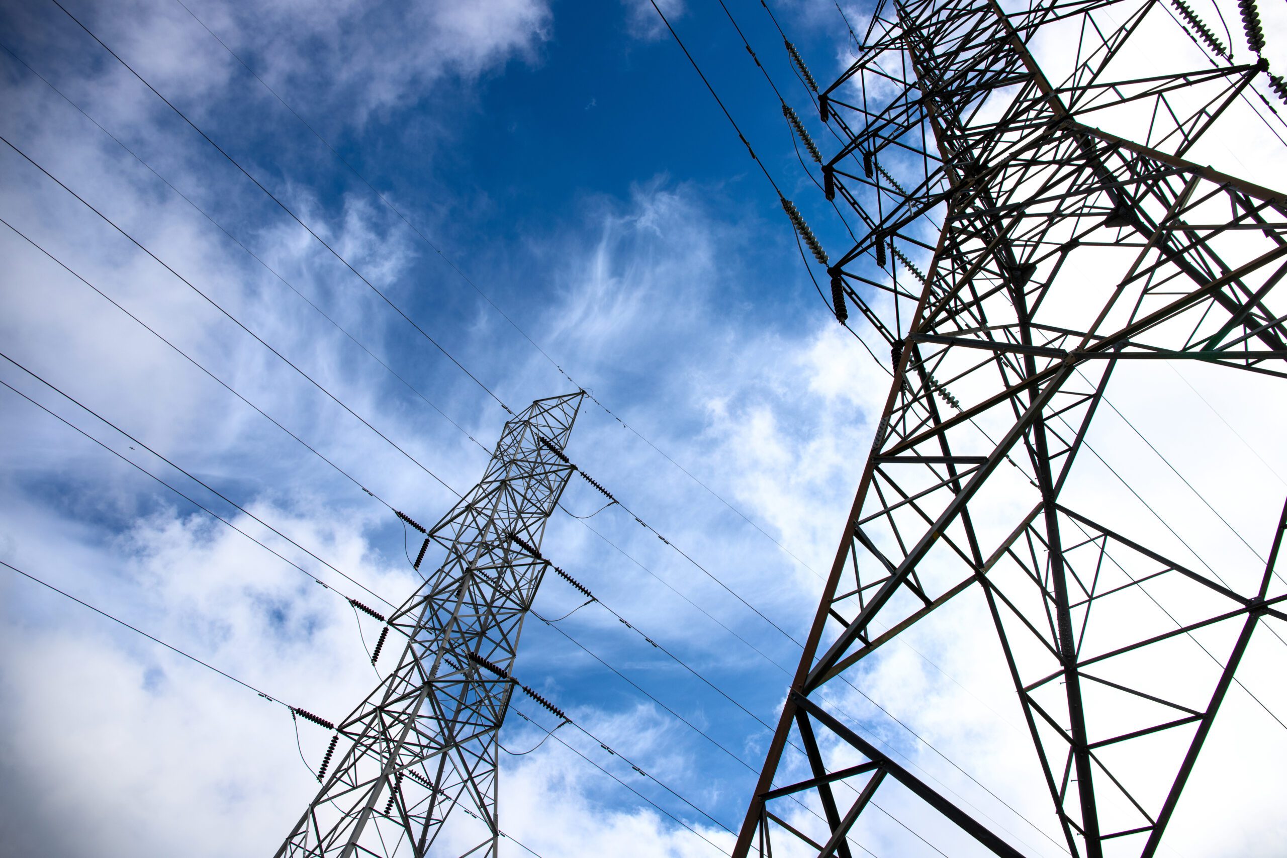
Our major cities and towns require more power to satisfy growing energy requirements, therefore geospatial data provides the essential mapping information to identify viable routes, understanding subsurface conditions, and address any issues that could affect the safe and efficient design, planning, construction and operation of the networks.

DATA CENTRES
As consumption of data increases, maintenance and understanding of data centres and their communication and power networks has become an essential service. Geospatial data provides the information to support effective maintenance and operations and prevent service disruption.

TELECOMS
As the demand for more data grows in our society, the importance of geospatial data cannot be underestimated. Our geospatial information aids in the supporting of route design, construction, risk reduction, safety and asset optimisation.
CLIENTS





Get in
touch
