
ABOUT
Meet
the Team
Choose Region >
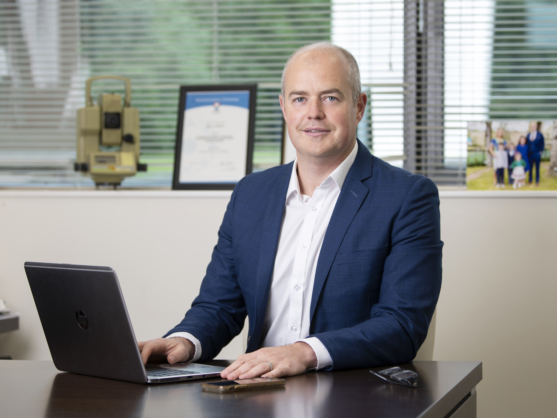
Niall Murphy
Niall Murphy is CEO of Murphy Geospatial Group. Niall is passionate about developing leadership and management skills across the organisation. Alongside his responsibility for the Group’s overall performance and growth, he focuses on enabling individuals across the company to progress into senior leadership. He has worked in the industry for over twenty years and has been instrumental to many large infrastructure and natural environment projects undertaken by Murphy Geospatial. He spearheaded the development and implementation of the GEOVOLVE25 strategy, which has had a transformative impact on the organisation as a whole.
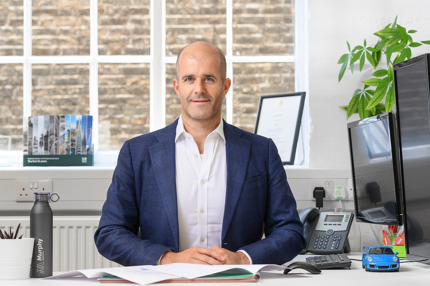
Colin Murphy
Colin is the Founder and Chief Business Development Officer at Murphy Geospatial Group. With almost thirty years of industry experience on projects such as HS2, the Houses of Parliament and Crossrail, Colin is a leader in his field. He is a Fellow of the Chartered Institute of Civil Engineering Surveyors and an External Advisor for the Geomatics Department at Newcastle University.
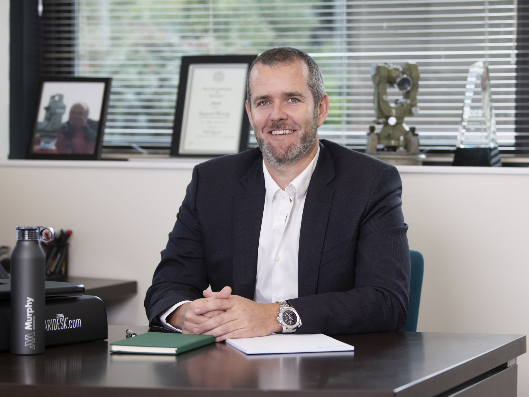
Ray Murphy
Ray Murphy is the co-founder and Chief Strategy Officer of Murphy Geospatial. As Chief Strategy Officer, he is responsible for overseeing the group company’s strategy. Ray played an instrumental role in launching the company and building its initial strategy. With a deep understanding of the industry and a keen eye for emerging trends, Ray has been able to guide the company through periods of rapid growth and change, adapting the company’s strategy to meet the evolving needs of the market. Previously, he held the role of Chairman of the SCSI Geomatics Group and President of the Irish Institution of Surveyors. He is currently an external examiner to TUD. With Ray Murphy’s leadership and guidance, Murphy Geospatial is well-positioned to continue its success in the years to come
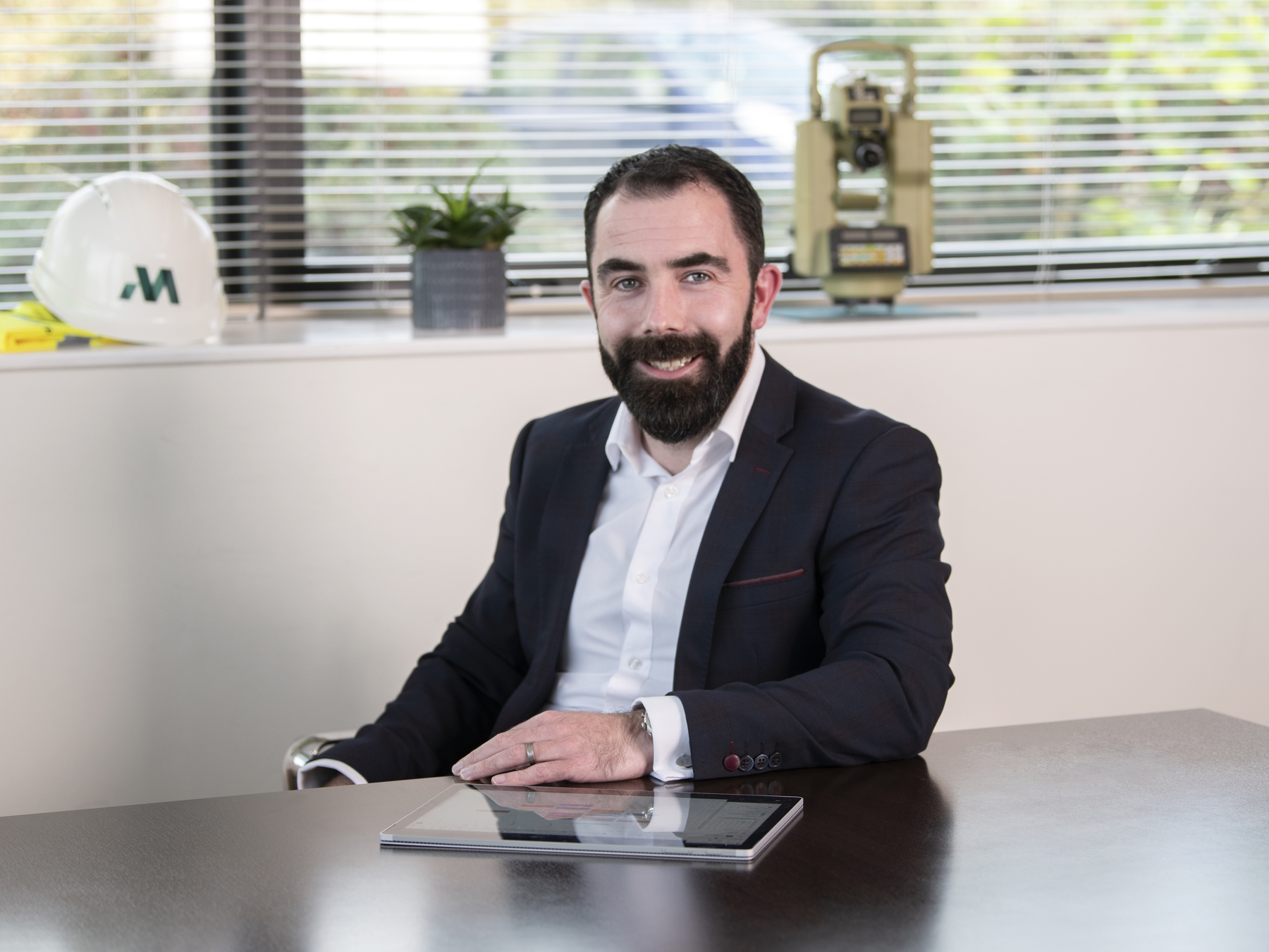
Billy Roche
Billy Roche is Managing Director (UK) and Executive Director (Ireland) at Murphy Geospatial. Billy maintains oversight of Operations, Quality, HR, EH&S, and Administration across the organisation. He is passionate about the value that geospatial experts and services can bring to projects from concept to construction, especially in the move to a more sustainable society. Billy holds an MSc in Project and Programme Management alongside a BEng (Hons) in Civil Engineering, and has worked on multi-million pound projects around the world.
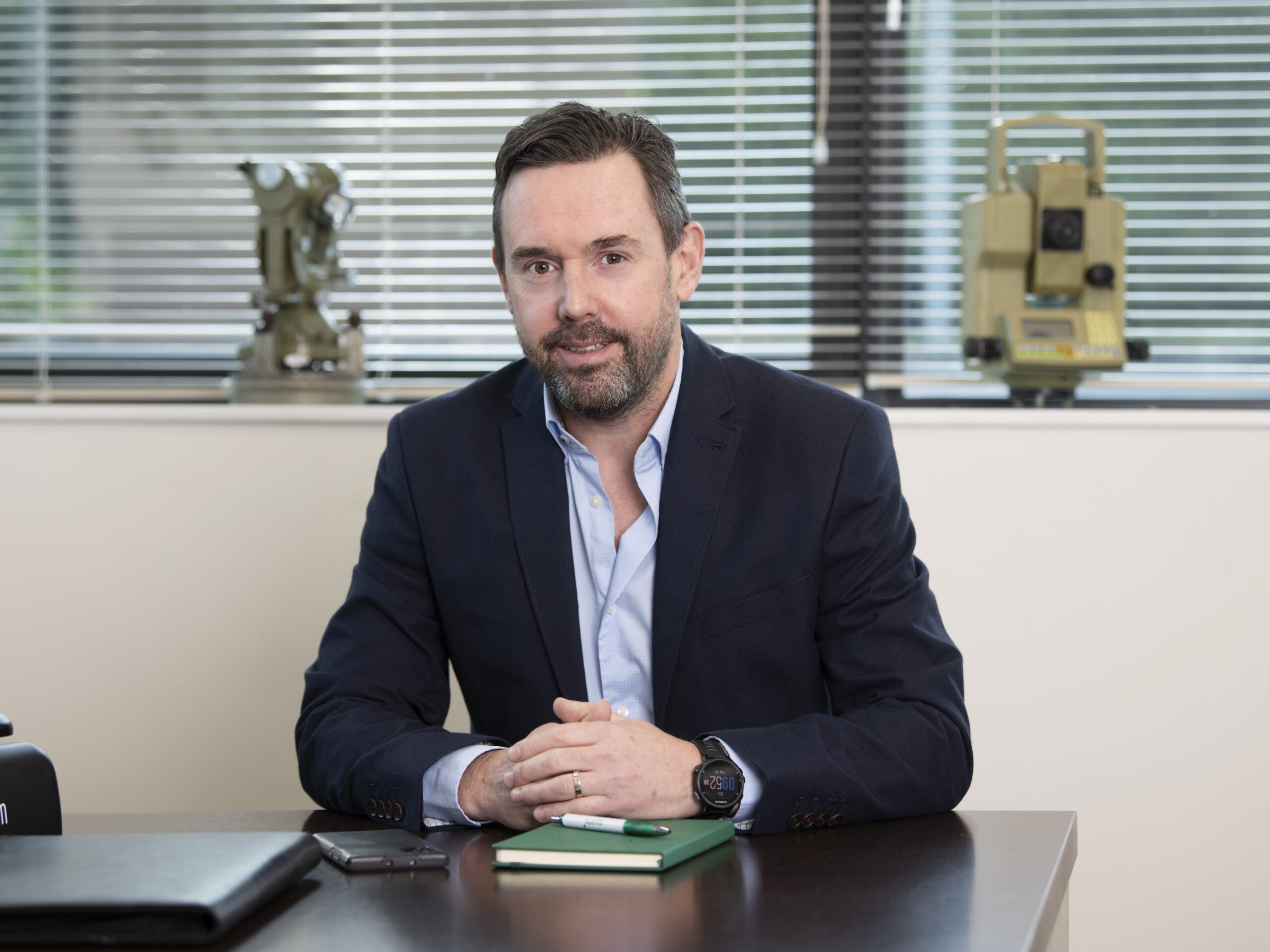
David Graham
David Graham is a Managing Director for Ireland at Murphy Geospatial and previously led the Subsurface Engineering Division in Ireland. David has over two decades of experience specialising in utilities and survey engineering. He is a chartered surveyor and currently sits on the SCSI Geomatics Professional Group (Ireland). David is also a Fellow of the Royal Geographic Society.
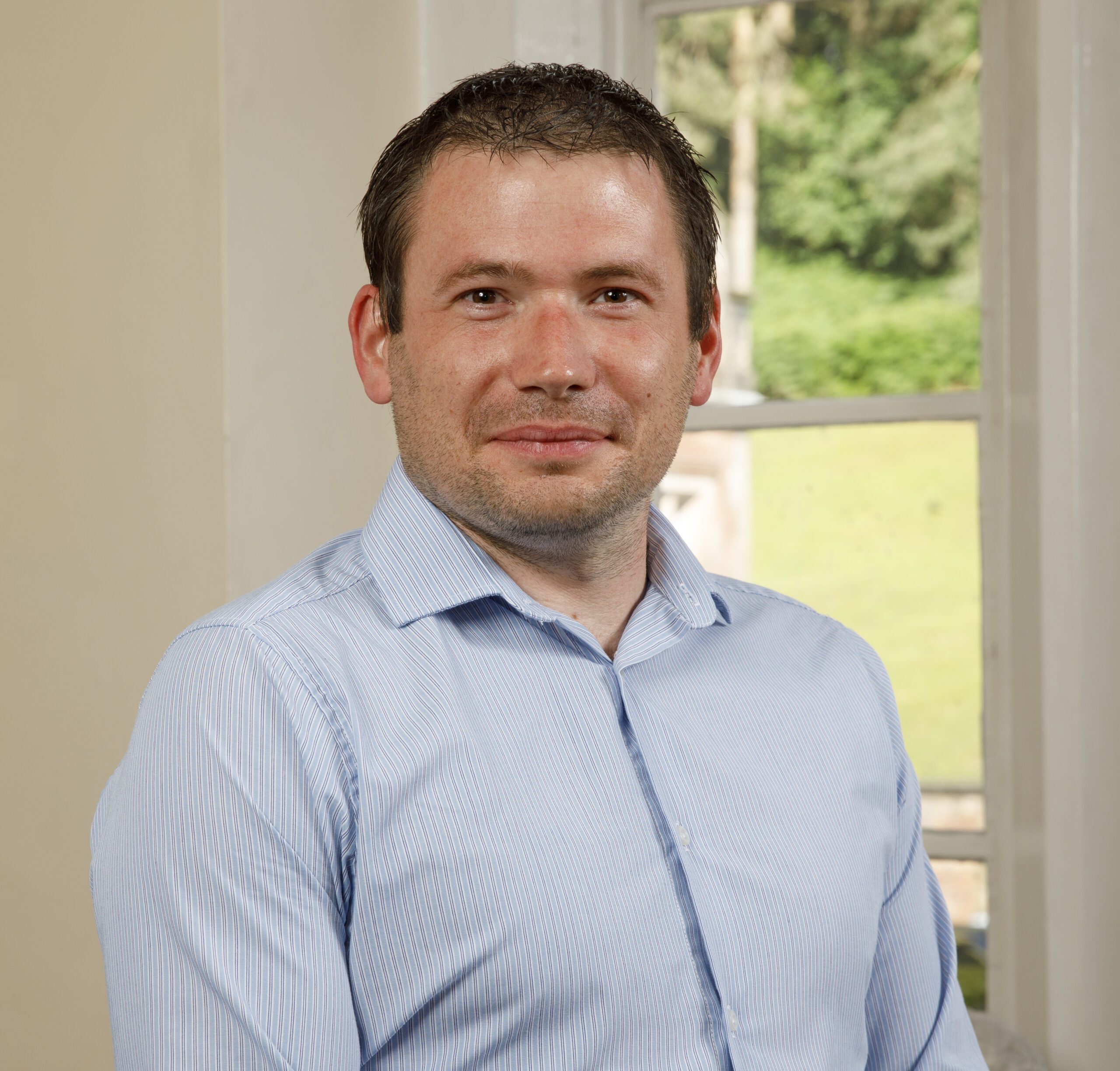
Richard Glenn
Richard Glenn is the Managing Director for the UK at Murphy Geospatial. An accomplished professional with over 20 years of experience in the geospatial and construction industries, At Murphy Geospatial, Richard is focused on expanding the company’s service offerings and strengthening its position as a leader in the industry. His vision is to leverage the full potential of geospatial data to deliver exceptional value to clients across various sectors, including infrastructure, property, and natural environment.
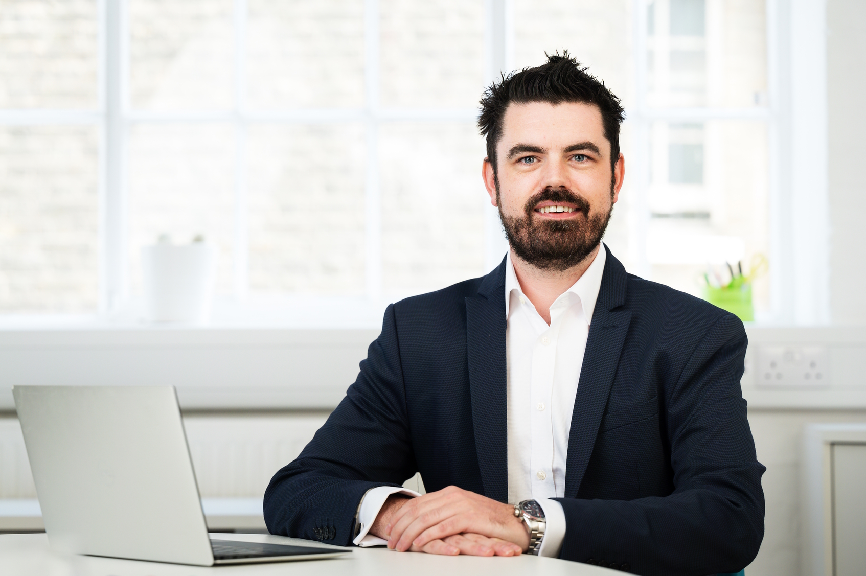
Andrew Masters
With over 10 years of experience at Murphy Geospatial, Andrew Masters is now Managing Director for the Monitoring Division. He is responsible for driving operations, meeting sales targets and providing monitoring solutions to customers. Andrew has a BSc (Hons) Construction Management and a Professional Diploma in Speech & Communications. He has worked on several major projects such as Crossrail and the Farnworth Tunnels.
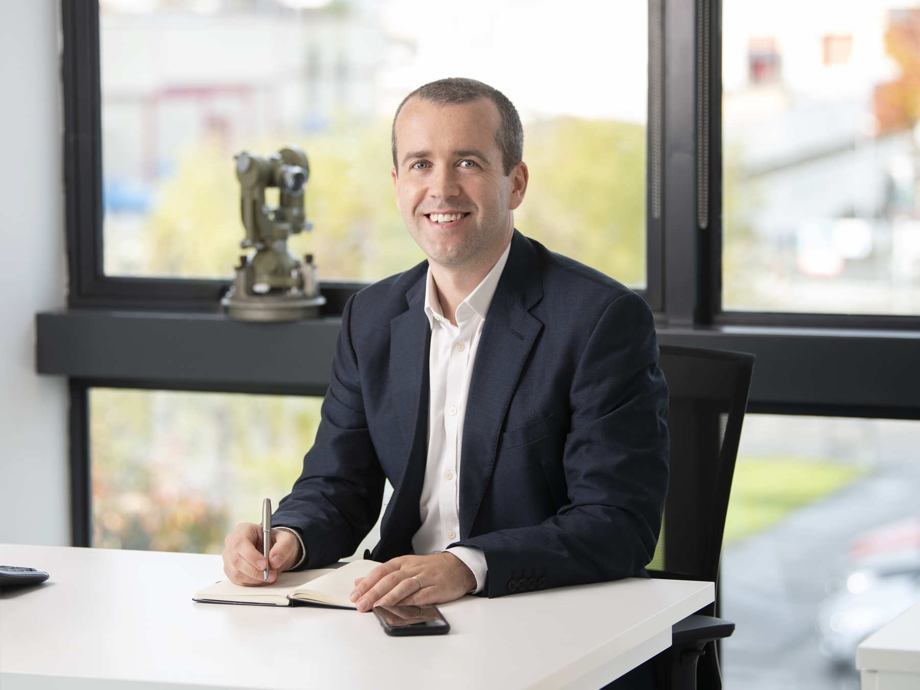
Diarmuid Murphy
Diarmuid is Director of Property at Murphy Geospatial, helping clients in the property sector to maximise the value of geospatial data. With expertise in the sector stretching back to 2008, Diarmuid assists clients in the Commercial, Residential, Logistics, and Retail verticals to ensure compliance with all necessary regulation. He holds a BSc in Quantity Surveying & Construction Economics.
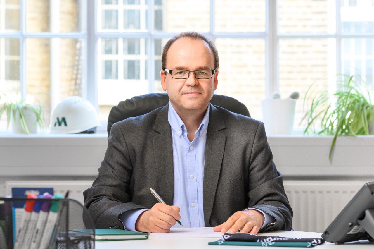
Matthias Gropp
Matthias Gropp began his career in surveying as a young man, working with his father – a mining surveyor – when home from school. He is now Director of the Monitoring Division at Murphy Geospatial, helping clients to find the best solutions for their structural monitoring requirements. He has worked on projects such as the National Gallery of Ireland, Liverpool Tunnel, and Vauxhall Station.
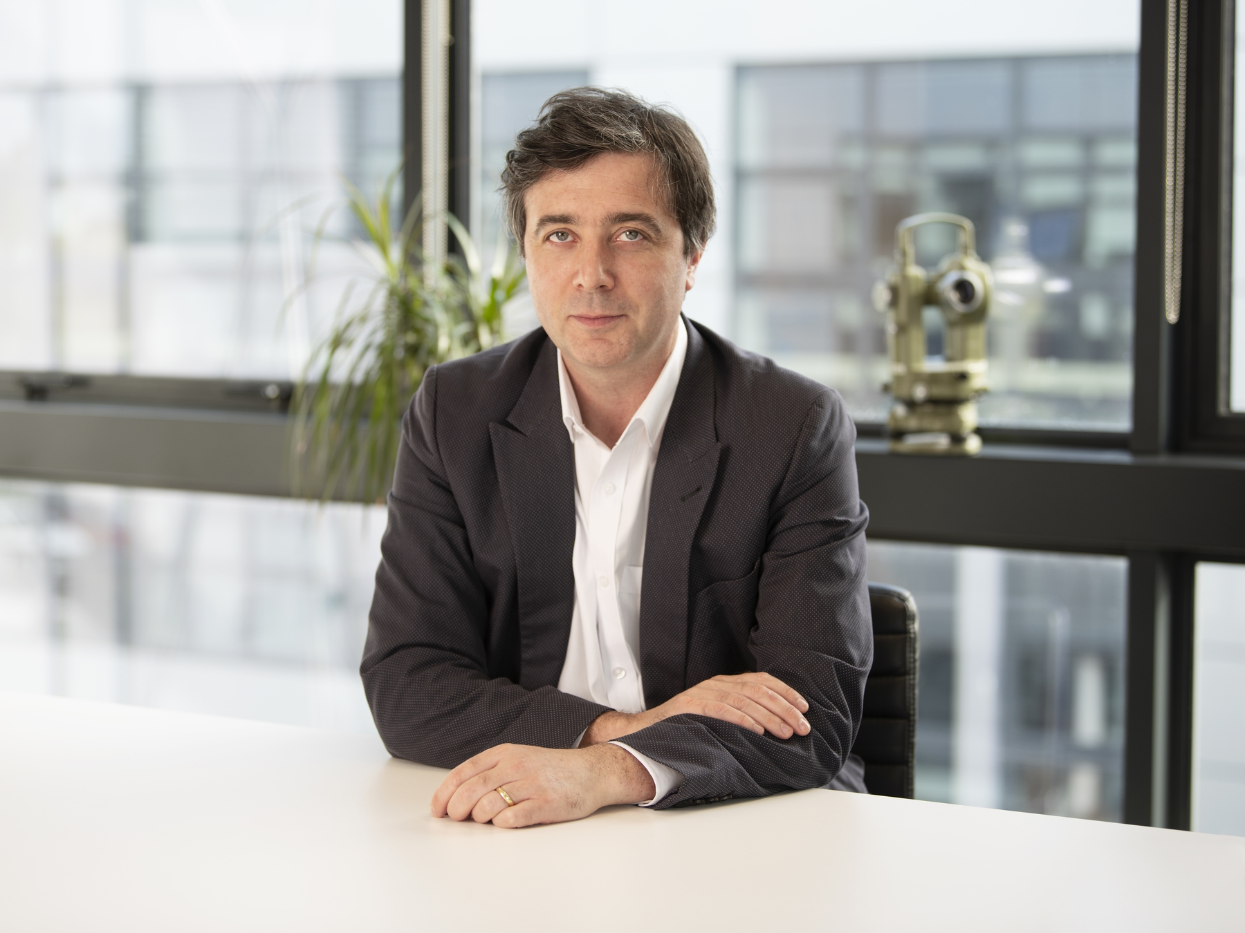
Michael Durnin
Michael Durnin MSCSI MRICS is a Director at Murphy Geospatial and Head of Digital Construction for both Ireland and the UK. Michael is responsible for delivering geospatial solutions for Industrial, Infrastructure, Manufacturing and Construction projects across the group. He works with clients to de-risk projects, manage costs, and keep key stakeholders informed of progress.
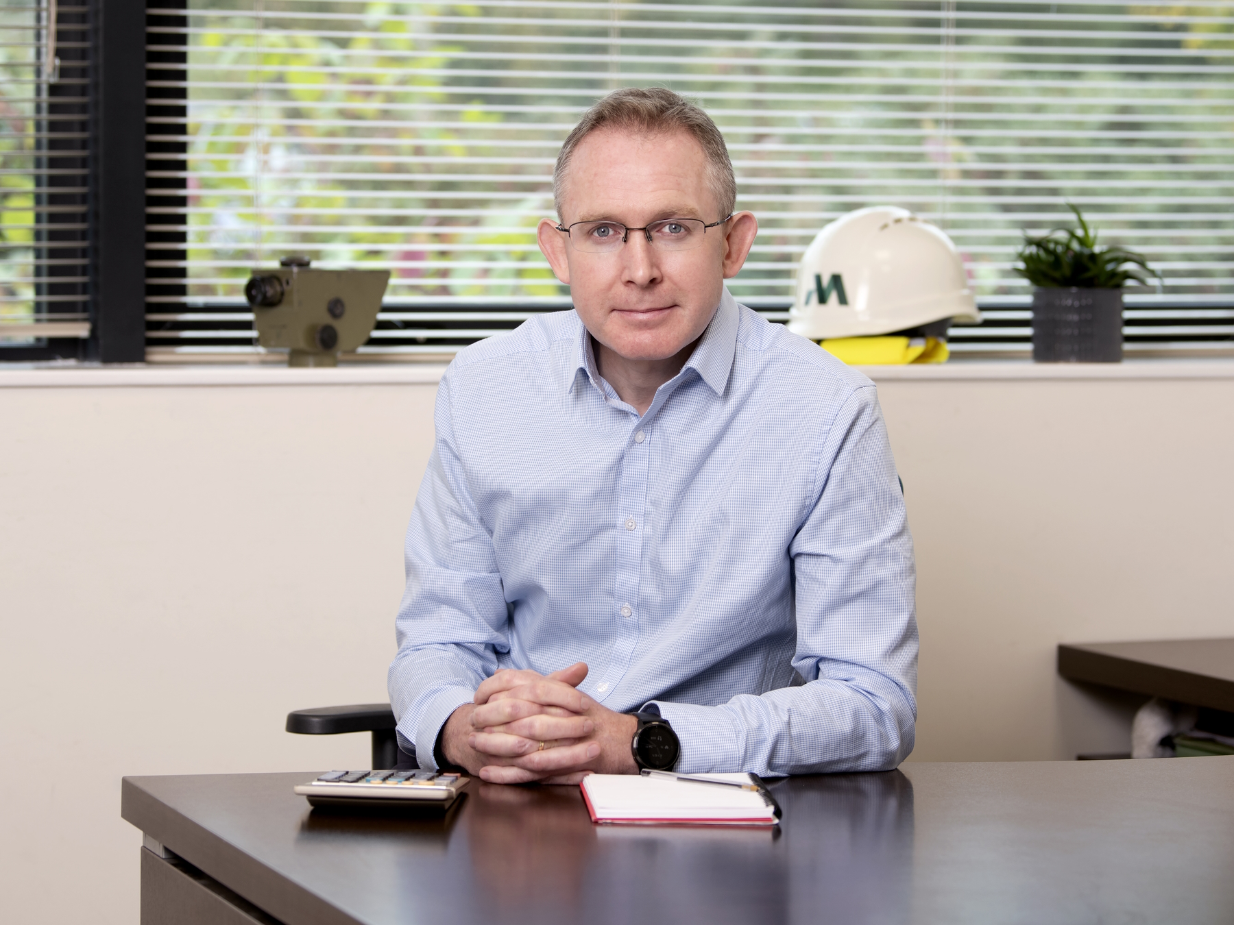
Paul Kearney
Paul Kearney is Finance Director at Murphy Geospatial. As FD, Paul is responsible for the entire suite of services required by the business and by clients: finance partnering, cashflow, accounting and reporting, billing, and credit control. Paul is a Chartered Management Accountant (ACMA) and a Member of the Association of Accounting Technicians (MAAT).
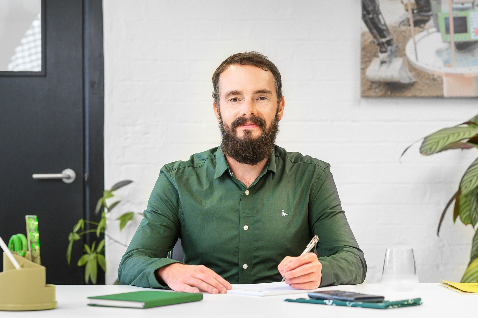
Colin Simpson
As Operations Manager at Murphy Geospatial Group, Colin works to ensure that every client receives a quality service, on time and in budget. In his time at the company, Colin has worked on such high-profile projects as Thameslink, Crossrail, and the Embassy Gardens. Colin holds a BEng (Hons) in Mechanical Engineering and a Masters in Business Administration (MBA).

JP Kelly
JP Kelly is Associate Director and the Growth Lead for Ireland. With a Bsc in Construction Economics & Management as well as a Diploma in Geo- Surveying, JP brings over 26 years of varied experience in the construction, infrastructure, semiconductor, and life science industries. Leading a nationwide team of experienced geospatial consultants, JP and his team successfully deliver sales and year on year growth to the Irish business. JP works closely with our clients to ensure they maximise the value and benefit of Geospatial data. The results are clear on every project enabling informed decision making while reducing costs, risk, and unnecessary delays. JP’s industry knowledge and trusted advice have allowed him to develop authentic and trusting relationships with many of our most valued clients.

Paraic Quirke
Paraic Quirke is Director and Head of Infrastructure and Natural Environment for Murphy Geospatial. Formerly a consultant design engineer, Paraic is now focused on growing geospatial consultancy services in these sectors along with increased delivery of geospatial services. He holds both a BE and PhD in Civil Engineering, and is a Chartered Member of Engineers Ireland.
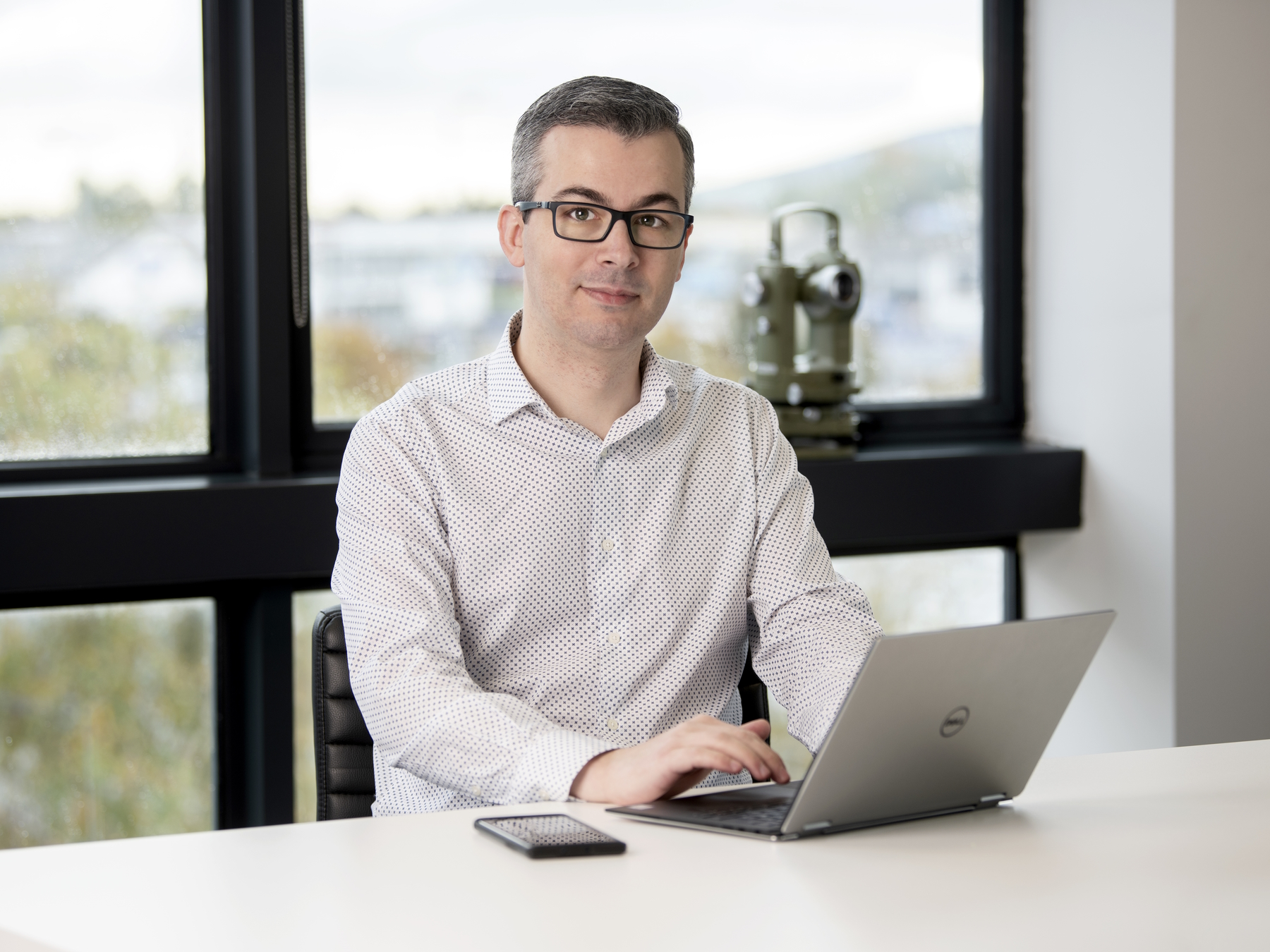
Ricardo Oliveira
Ricardo Oliveira is Associate Director at Murphy Geospatial, having previously served as Chief Technical Officer leading the company’s innovation strategy. Ricardo works on building a client-centred culture of innovation, focusing on everything from employee training to the acquisition of new tools and technological strategies. Ricardo has been key to the delivery of several BIM projects across Ireland, and supported Murphy Geospatial in the achievement of its BSI Kitemark.
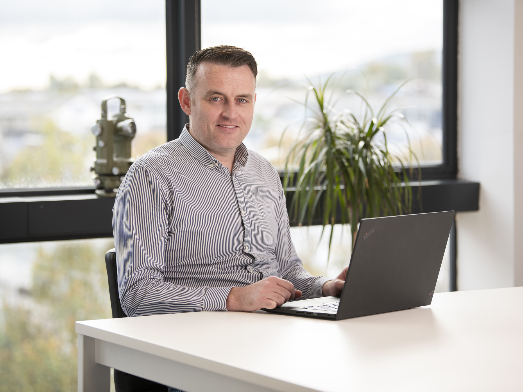
Christopher Byrne
Christopher Byrne is Associate Director – Semiconductor lead previously serving as Head of Department for Special Projects at Murphy Geospatial. Christopher is the main point of contact for all operations at the Intel Leixlip campus, and oversees both the Bluejay and P1222 projects. He began his career in the geospatial industry in 2006 after qualifying with a BSc in Geomatics.
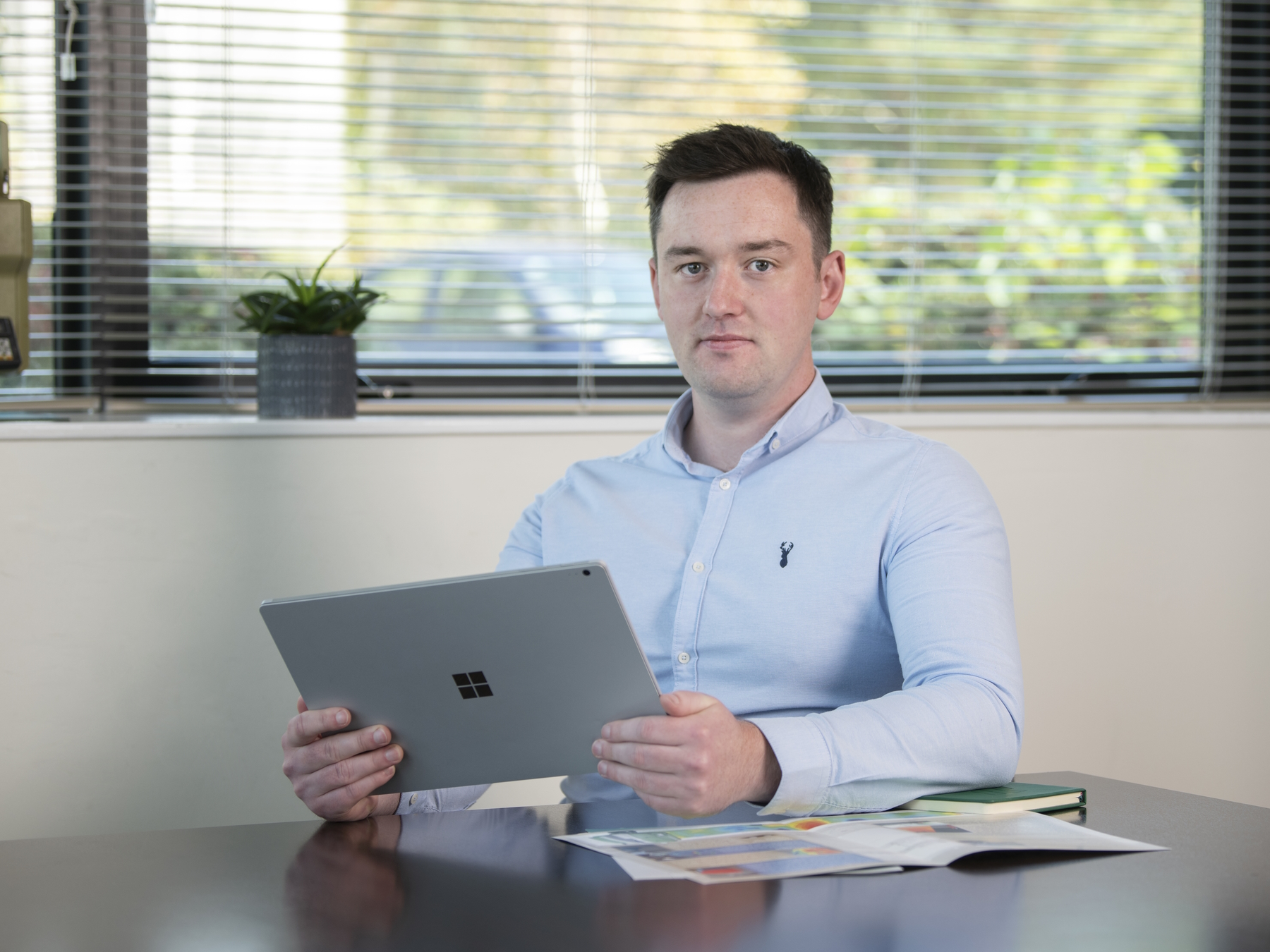
Stuart McCann
Stuart McCann is Associate Director in Operations, previously serving as BIM Manager for the Digital Engineering Division at Murphy Geospatial. Stuart’s focus is on Digital Project Delivery and Information Management, aiding clients with the management of their real-world information in the digital space. He holds a BSc (Hons) Construction Management and MSc in applied Building Information Modelling & Management. Stuart joined Murphy Geospatial in 2012.

David Sayad
David Sayad is Head of Department for Subsurface at Murphy Geospatial. He works to reduce risk on large projects with accurate mapping and clear communication to clients. Since joining Murphy Geospatial, David has been involved in projects including HS2, Euston Station, and National Highways – TST Frameworks. He has a BSc in IT and has worked in the geospatial industry since 2009.
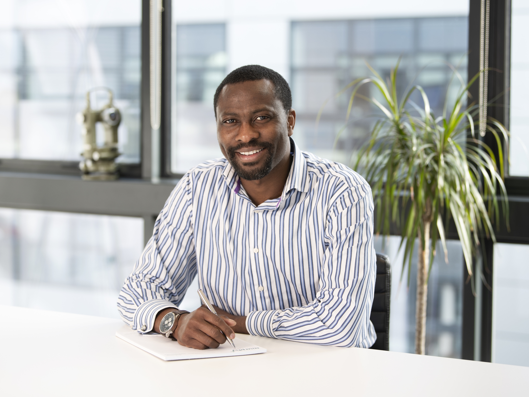
Jeremiah Biala
With over 20 years of experience in the geospatial profession, Jeremiah is well equipped for his role as Manager for the Area Referencing Department at Murphy Geospatial. Jeremiah oversees projects from tender through to delivery, working to provide specifically tailored solutions that are cost-effective, efficient, and fully relevant to each client’s needs. He holds a BSc in Surveying & Mapping Science.

Reese Dawber
Reese Dawber is Head of Department – Major Projects (previously Monitoring UK North) at Murphy Geospatial. Reese is responsible for the coordination and planning of all monitoring projects in the UK. He ensures that adequate resources are available, quality is upheld, and health and safety procedures are followed to a high standard. Reese holds a Diploma in Engineering (Civil) and has worked on HS2, Crossrail, and multiple Network Rail projects.

Samuel Narh
Samuel Narh leads the Monitoring Department for the wider UK region (previously UK South) at Murphy Geospatial, bringing over 19 years of experience in the geospatial industry. He specialises in structural health, ground movement, asset performance and environmental monitoring, ensuring all monitoring projects are designed and delivered safely, on time and to the highest standards. His leadership fosters collaboration, innovation and quality across multidisciplinary teams and sectors including rail, highways, energy, water, and major infrastructure.
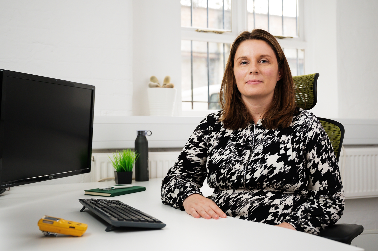
Rachel Cutter
Rachel Cutter entered the surveying industry in 2022 when she joined Murphy Geospatial as Group Human Resources Manager. Rachel is responsible for HR, recruitment, and learning & development across the Ireland and UK business. She has a BA (Hons) Business Studies with Human Resource Management, an MA Human Resource Management, and is an Associate Member of the CIPD.
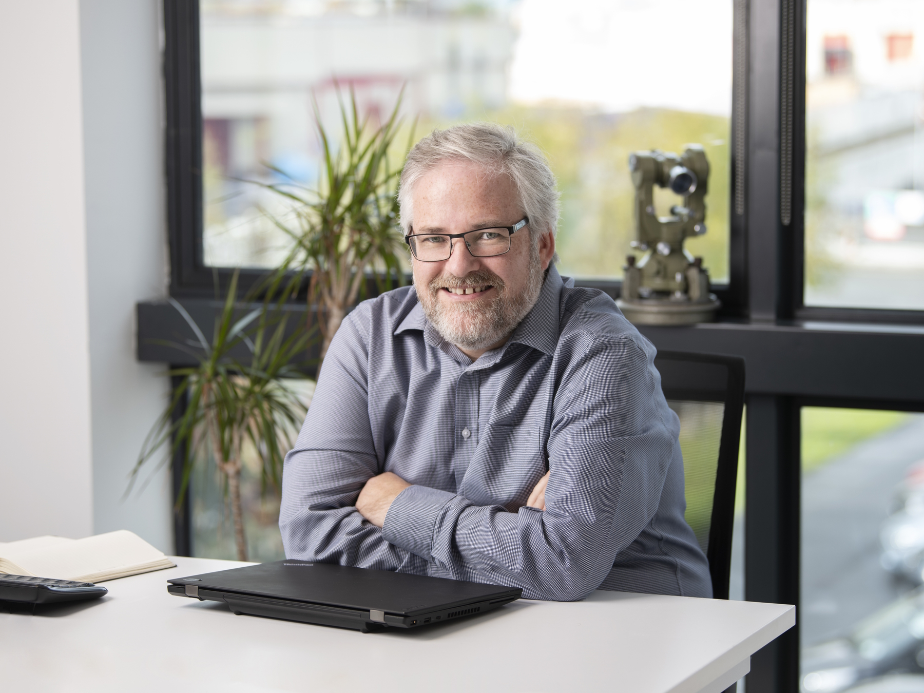
Kieron Goucher
Kieron Goucher is IT Manager at Murphy Geospatial. He has worked in the surveying industry for over thirty years, in both surveyor and IT roles. Kieron holds a Diploma in Geo-Surveying, a Diploma in Business Management, and an MSc in Spatial Information Management. He joined the team at Murphy Geospatial in 2011.
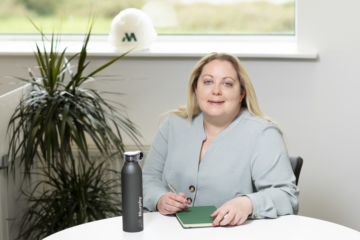
Claire Lucey
Claire Lucey qualified as a Certified Insurance Practitioner before joining the surveying industry in 2019, when she became Office Manager. In 2026, Claire was promoted to Chief of Staff – Europe, previously as Head of Administration and Executive Assistant for Murphy Geospatial. Claire is responsible for managing our locations in Ireland and the UK, including the Administration and Reception teams across all offices. Claire works closely with the Directors, offering support to the executive team.

Ruth Lalor
Ruth Lalor is a Talent Acquisition Specialist in the Human Resources department of Murphy Geospatial. Ruth joined the geospatial industry in 2020, having previously worked across the veterinary and medical industries. She works to identify and support talented individuals across the geospatial world in the pursuit of their ideal career path. Since joining Murphy Geospatial, Ruth has been involved in projects such as the sale of Castlemartin and the Microsoft buildings at Sandyford.

Jaime Camino
Jaime Camino, BSc (Hons) is the UK Resource Manager in charge of managing resources including hires, calibration, and purchases for the team to ensure projects run efficiently and safely. Jaime ensures seamless operations within the company and has been involved in prestigious projects which include the M25a Bromford Viaduct I&M, collaborating with Laing O’Rourke – Murphy Group Joint Venture.
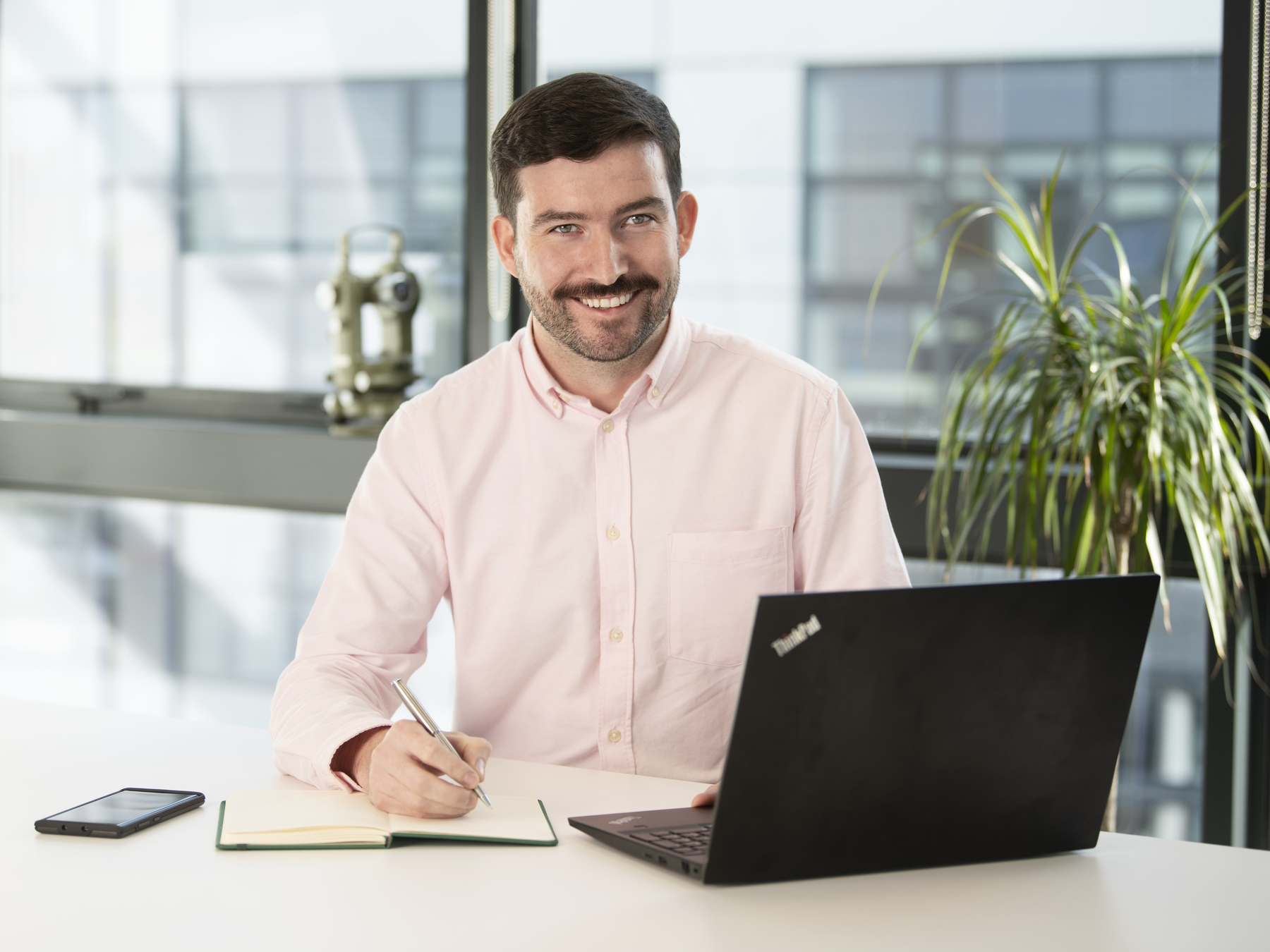
Ger Cowman
Ger Cowman is Sales Manager for Ireland at Murphy Geospatial, responsible for leading the sales and management across all departments. Previously he held the Senior Geospatial Consultant position, for our Digital Engineering Department. Ger works jointly on client engagement and project estimation, with expertise across Laser Scanning, Asset Capture, Revit and CAD projects throughout Ireland. Ger has a BSc in Geomatics and has been working in the surveying and geospatial industry since 2011.
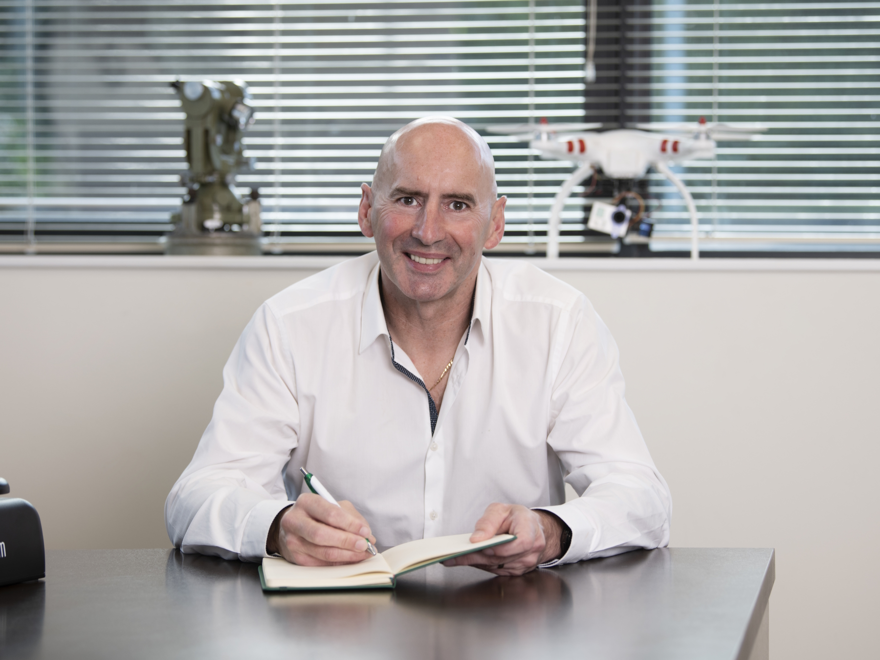
John Richardson
John Richardson brings over thirty years of industry experience to his role as Lead Geospatial Consultant at Murphy Geospatial. John collaborates closely with clients to ascertain their project requirement, then works to design and cost the most appropriate solution for the project and budget. He holds a BSc Joint Honours Surveying Science and Geography and a Post Graduate Diploma in International Selling.
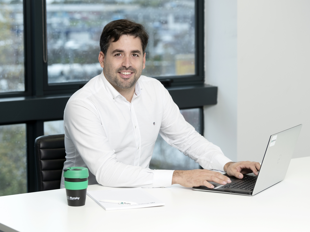
Javier Perez Lentini
Javier is a Geospatial Consultant at Murphy Geospatial. He has been working in the surveying and geospatial industry since 2011, prior to which he qualified with a BEng (Hons) Surveying Engineer. Javier investigates potential solutions for clients and provides technical support to other client-facing teams. He is responsible for managing and teaching resources to ensure high levels of accuracy and quality.
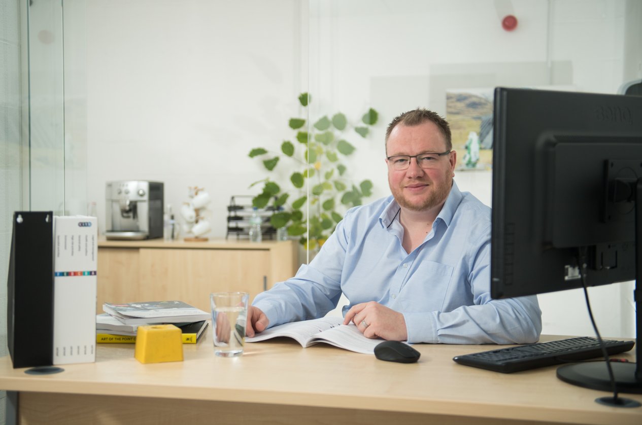
Matthieu Marsault
Matthieu Marsault is the Strategic Account Manager for Manufacturing in the UK, having previously led operations for Murphy Geospatial in the Manchester region and developed the company’s laser scanning services. He has a MSc in Surveying & Geomatic Sciences, and began his career in the geospatial industry in 2007. Matthieu has worked on projects such as the Old War Office, AO Arena, Everton Stadium, and HS2.

Sergio Gutierrez Requejo
Sergio Gutierrez Requejo is Sales Consultant for Monitoring at Murphy Geospatial, having previously held the position of Site Services Manager. Sergio has a BEng (Hons) Surveying Engineer and has worked within the surveying and geospatial industry since 2004. As part of Murphy Geospatial, Sergio has worked on Crossrail, Embassy Gardens, Royal Wharf, and HS2 projects.

Guillermo Martinez Poza
Guillermo Martinez Poza is a Geospatial Consultant, using his experience drawn from his years in the industry to provide accurate and detailed quotations to clients for their projects. Guillermo also works to determine the most appropriate methodology for achieving the client’s ideal results. He holds the qualification of BEng (Hons) Surveying Engineer.

Jarrod Johansen
Jarrod Johansen started his career in the geospatial industry in 2020 and has progressed to the position of Business Development Executive for Subsurface Engineering at Murphy Geospatial Group. Jarrod works with clients to ensure they can plan, design, construct and operate with confidence. Jarrod has a Proqual QCF in Utility Mapping & Surveying.

Tobias Holland
Tobias is a Sales Consultant for the Digital Engineering arm of Murphy Geospatial. He focuses on laser scanning, Revit, and CAD projects for clients and projects such as Tate & Lyle, the Museum of London, Buckingham Palace and the Houses of Parliament. Tobias has over a decade of experience in the geospatial industry, and puts his knowledge to good use when working with potential clients to provide the best possible solution to their needs.
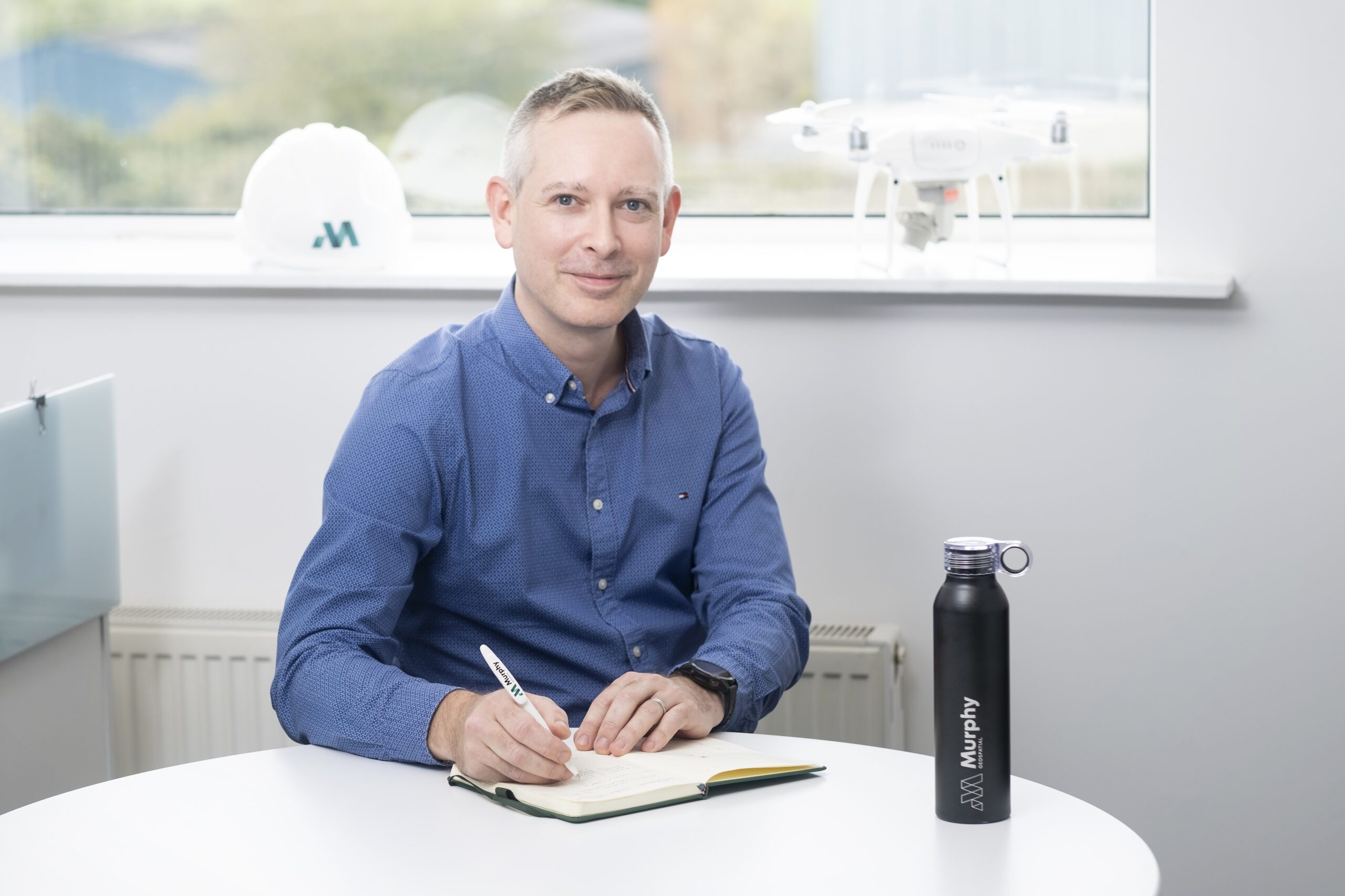
Tom Stack
Tom is Senior Client Partner for Murphy Geospatial (previously Head of Department – Cork), responsible for complete project management from commencement to delivery across a wide and varied department. Tom works closely with multiple teams to deliver projects on time and within budget. He qualified in 2004 with a BSc Construction Management and has extensive experience of numerous construction types.
Ray Murphy
Ray Murphy is the co-founder and Chief Strategy Officer of Murphy Geospatial. As Chief Strategy Officer, he is responsible for overseeing the group company’s strategy. Ray played an instrumental role in launching the company and building its initial strategy. With a deep understanding of the industry and a keen eye for emerging trends, Ray has been able to guide the company through periods of rapid growth and change, adapting the company’s strategy to meet the evolving needs of the market. Previously, he held the role of Chairman of the SCSI Geomatics Group and President of the Irish Institution of Surveyors. He is currently an external examiner to TUD. With Ray Murphy’s leadership and guidance, Murphy Geospatial is well-positioned to continue its success in the years to come
David Graham
David Graham is a Managing Director for Ireland at Murphy Geospatial and previously led the Subsurface Engineering Division in Ireland. David has over two decades of experience specialising in utilities and survey engineering. He is a chartered surveyor and currently sits on the SCSI Geomatics Professional Group (Ireland). David is also a Fellow of the Royal Geographic Society.
Diarmuid Murphy
Diarmuid is Director of Property at Murphy Geospatial, helping clients in the property sector to maximise the value of geospatial data. With expertise in the sector stretching back to 2008, Diarmuid assists clients in the Commercial, Residential, Logistics, and Retail verticals to ensure compliance with all necessary regulation. He holds a BSc in Quantity Surveying & Construction Economics.
Matthias Gropp
Matthias Gropp began his career in surveying as a young man, working with his father – a mining surveyor – when home from school. He is now Director of the Monitoring Division at Murphy Geospatial, helping clients to find the best solutions for their structural monitoring requirements. He has worked on projects such as the National Gallery of Ireland, Liverpool Tunnel, and Vauxhall Station.
JP Kelly
JP Kelly is Associate Director and the Growth Lead for Ireland. With a Bsc in Construction Economics & Management as well as a Diploma in Geo- Surveying, JP brings over 26 years of varied experience in the construction, infrastructure, semiconductor, and life science industries. Leading a nationwide team of experienced geospatial consultants, JP and his team successfully deliver sales and year on year growth to the Irish business. JP works closely with our clients to ensure they maximise the value and benefit of Geospatial data. The results are clear on every project enabling informed decision making while reducing costs, risk, and unnecessary delays. JP’s industry knowledge and trusted advice have allowed him to develop authentic and trusting relationships with many of our most valued clients.
Michael Durnin
Michael Durnin MSCSI MRICS is a Director at Murphy Geospatial and Head of Digital Construction for both Ireland and the UK. Michael is responsible for delivering geospatial solutions for Industrial, Infrastructure, Manufacturing and Construction projects across the group. He works with clients to de-risk projects, manage costs, and keep key stakeholders informed of progress.
Paraic Quirke
Paraic Quirke is Director and Head of Infrastructure and Natural Environment for Murphy Geospatial. Formerly a consultant design engineer, Paraic is now focused on growing geospatial consultancy services in these sectors along with increased delivery of geospatial services. He holds both a BE and PhD in Civil Engineering, and is a Chartered Member of Engineers Ireland.
Ricardo Oliveira
Ricardo Oliveira is Associate Director at Murphy Geospatial, having previously served as Chief Technical Officer leading the company’s innovation strategy. Ricardo works on building a client-centred culture of innovation, focusing on everything from employee training to the acquisition of new tools and technological strategies. Ricardo has been key to the delivery of several BIM projects across Ireland, and supported Murphy Geospatial in the achievement of its BSI Kitemark.
Javier Perez Lentini
Javier is a Geospatial Consultant at Murphy Geospatial. He has been working in the surveying and geospatial industry since 2011, prior to which he qualified with a BEng (Hons) Surveying Engineer. Javier investigates potential solutions for clients and provides technical support to other client-facing teams. He is responsible for managing and teaching resources to ensure high levels of accuracy and quality.