
SECTOR
Natural Environment
Overview
A better understanding our natural environment fed by geospatial data, enables us to predict its future behaviour, allowing us to limit the impacts of flooding, coastal erosion and for restoration.
Verified geospatial data is key to understanding of these complex systems. Data-driven decision making will help us preserve the natural environment and to live more sustainably.
Read more about our natural environment projects.
Project life cycle
Our solutions are valuable across the life cycle of your natural environment project. Contact our team today to unlock the true value of your geospatial data.

Our Solutions
Our geospatial consultants will understand your project goals and challenges. Explore our most requested solutions for natural environment projects below and how these are developed to meet your project needs.

HYDROGRAPHIC SURVEYS_
Hydrographic surveys are vital for environmental planning, and our expertise ensures clients receive well-prepared data that seamlessly integrates with modelling software.

Bathymetric Surveys_
Provide 3D visuals to aid navigation upkeep, while pre and post dredging surveys verify quantities, payment claims, and environmental license adherence.

AERIAL SURVEYS_
Aerial surveys help clients capture data non-intrusively in protected areas, protecting sensitive habitats.

EMBANKMENT SURVEYS_
Our embankment surveys and geospatial analysis ensure flood protection by pinpointing design deviations and defects for proactive maintenance.

GEOSPATIAL MANAGEMENT_
Your custom Geospatial Management Plan delivered by our experienced Geospatial Managers to ensure consistency, accuracy, and conformance to BEP and AIM criteria for all spatial data.
FLOOD PREVENTION
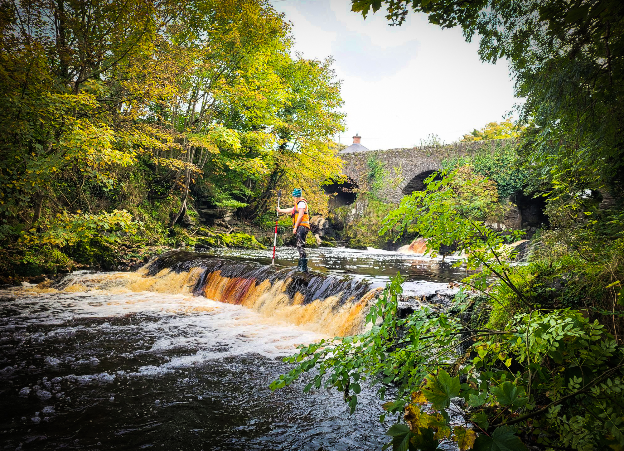
Multiple factors are causing an increase in flooding in our towns and cities. Geospatial data gathered by our highly trained teams using specialist equipment support flood prevention and protection measures for planning, design, construction, and monitoring.
NAVIGATION
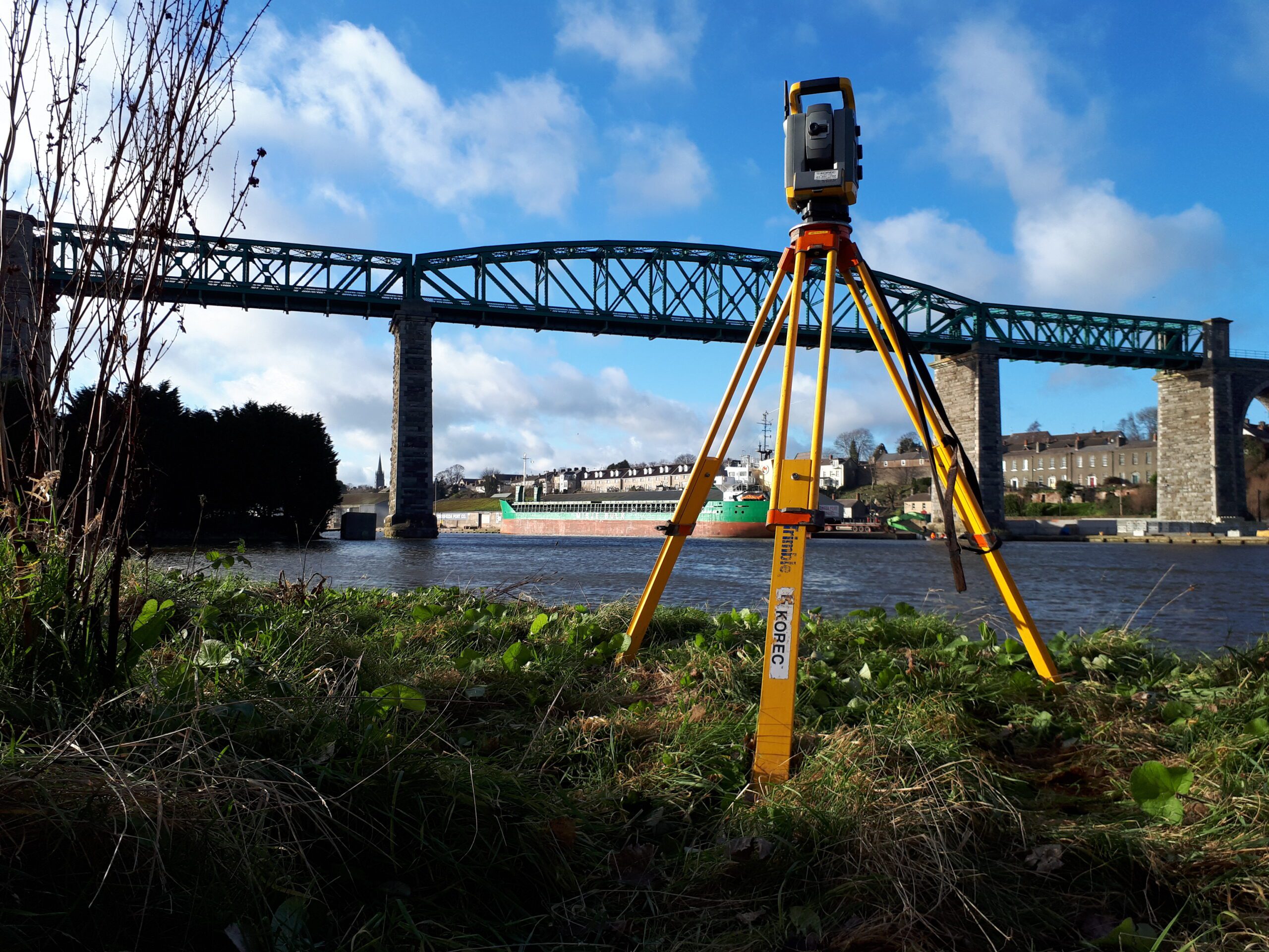
Water bodies such as rivers and lakes are constantly changing due to natural causes and human actions. To understand these changes and their impact, geospatial data is vital for ensuring safe and efficient navigation in ports, harbours, rivers, and canals.
COASTAL EROSION
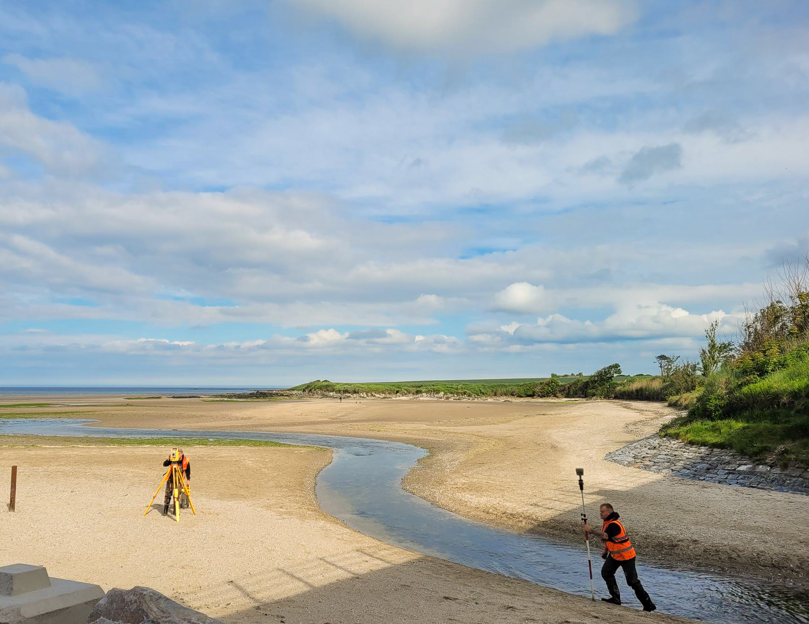
Vulnerable sections of our coasts are eroding. Our coastal erosion surveys and data interpretation are used to monitor the rate of erosion and plan intervention measures for key infrastructure such as rail.
RESERVOIR CAPACITY
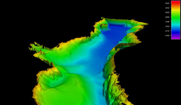
Lakes and reservoirs are an essential source of water. Our geospatial data is used to monitor movement and ensure integrity and to verify dredging quantities.
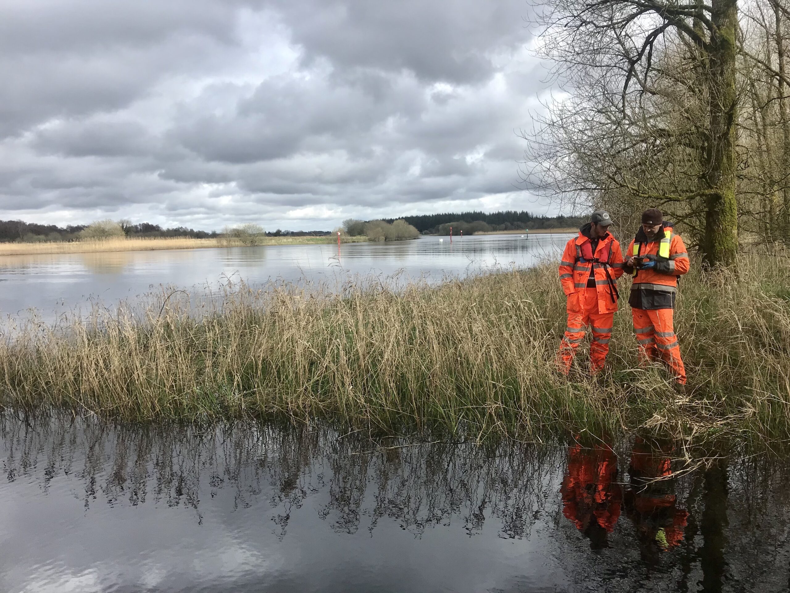
RESTORING & REWILDING
The industrial age has greatly altered our natural surroundings with the construction of artificial structures. As we prioritise sustainability, more efforts are being made to restore and rewild these environments. To support these restoration projects, our geospatial data is used to plan measures to aid the recovery and rejuvenation of our natural ecosystems.
TESTIMONIALS
CLIENTS



Get in
touch
