
By Tim Faulkner, Head of Department, Murphy Geospatial
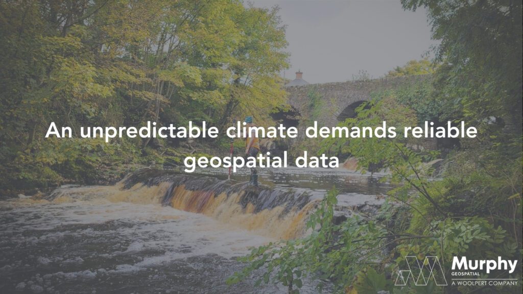
We are entering an era of intensified water volatility. From prolonged droughts that deplete reservoirs to flash floods that devastate critical infrastructure, the UK and Ireland are experiencing the growing impacts of a changing climate. As extreme weather events become more frequent, our approach to environmental and infrastructure planning must evolve, starting with accurate, real-time geospatial data.
Why flood resilience begins with data
Flood protection in a modern world can’t rely on sandbags alone. To protect communities and infrastructure from the increasing threat of flooding, we need actionable geospatial intelligence. Mapping rivers, canals, coasts, and catchments through hydrographic and topographic surveys provides the foundation for smarter, more targeted flood mitigation strategies.
We work with civil engineers, flood analysts, architects, and utility providers to deliver the high-resolution spatial data they need to assess current flood risks and plan resilient infrastructure for the future. These insights are particularly vital as climate change accelerates.
The rising cost of inaction
Flooding is one of the most economically damaging natural disasters in the UK. The winter floods of 2015-16, triggered by Storm Desmond and Storm Eva, cost the economy an estimated £1.6 billion. Local authorities, homeowners, and insurers bore the brunt of the destruction, underscoring the need for proactive flood risk assessment.
In today’s economic climate, communities simply can’t afford reactive solutions. By investing in GIS mapping, digital terrain models, and hydrographic surveying, local governments can implement climate-resilient infrastructure planning that is data-driven, justifiable, and effective.
Learning from global leaders in climate adaptation
Other countries are already demonstrating how geospatial technology can transform national resilience. In the Netherlands, where over half the population lives below sea level, digital twins and continuous hydrographic monitoring are used to simulate flood scenarios and enhance flood infrastructure resilience.
Japan integrates real-time LIDAR and sonar data into early warning systems, enabling local authorities to adapt to typhoons and tsunamis with impressive agility. These examples show that with the right tools, climate adaptation strategies can be both dynamic and deeply informed.
Geospatial technology in action: the Athy flood relief scheme
In County Kildare, Ireland, Murphy Geospatial partnered with local authorities to deliver a comprehensive flood risk assessment as part of the Athy Flood Relief Scheme. Through detailed topographic and hydrographic surveys, we created accurate digital surface models to simulate various rainfall and flow conditions.
This enabled stakeholders to:
- Identify vulnerable infrastructure
- Detect unknown culverts and flow restrictions
- Evaluate climate resilience scenarios
- Design effective mitigation measures based on real-world insights
Over 1,000 property threshold levels were recorded, and flood defences, lock gates, and bridges were meticulously surveyed. The result is a complete geospatial picture that empowered decision-makers to build long-term infrastructure protection strategies rooted in data.
Understanding flood drivers with location intelligence
Flooding is not a simple case of too much water, too quickly. It’s influenced by catchment saturation, urban runoff, river morphology, and infrastructure constraints – all of which are spatial, dynamic, and measurable.
With location intelligence services, we can pinpoint the causes of flooding in specific regions and prevent disasters before they unfold. Geospatial analytics allows local authorities to model these complex variables and plan accordingly, protecting both people and assets.
Working toward a climate-resilient future
As the UK becomes wetter and sea levels rise, the question is not if flooding will happen, but when and where. Local governments, developers, and planners must prioritise resilient infrastructure planning backed by comprehensive data.
At Murphy Geospatial, we believe that geospatial certainty is the key to building smarter, safer environments. Through our GIS mapping solutions, flood modelling, and real-time surveying, we help communities adapt to an unpredictable climate with clarity and confidence.
Climate change may be inevitable, but crisis doesn’t have to be. Our hydrographic services help to build resilience from the ground up and instil preparedness for climate volatility in the built environment and beyond.
For more information on our Hydrographic Surveys offering, click here.
For more information on our work in the Natural Environment, click here.