
SERVICES
Geospatial Engineering
Geospatial refers to any piece of information that is associated with a particular location.
“If you can’t measure it, you can’t manage it.”- Peter Drucker
Geospatial engineering manages the measurement process and delivers information that supports the project team in making informed decisions to better manage, costs, progress, and installation accuracy.
Our Geospatial Engineers support the wider construction team, from pre-construction and construction phase through to delivery, reducing reworks and lost time.
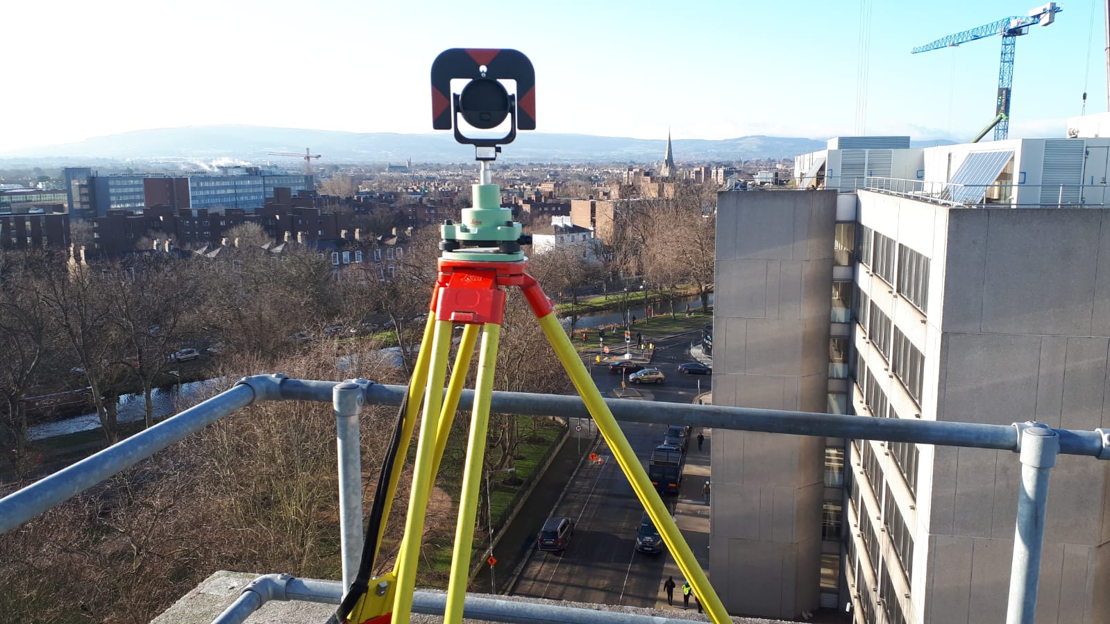
Our services include:
- Site control networks and grid set ups and datums.
- Setting out of civils, structure and fit out/MEP.
- Design management and data prep for all setting out engineering staff, and supply chain.
- Any earthworks calculation, pre-works, earthworks maintenance and optimisation.
- Capture (laser scanning, topographic, UAV, 360 imagery, etc)
- As-built handover, through phase build, above and below ground.
- Computation and analysis – deviations from design, volume and earthworks modelling.
- Design models vs current build change – variations
- Shortening and axial monitoring of cores
- Temporary works deformation monitoring
- Provide UAV data through web portal for all site teams. Progress reporting.
- Machine control – data management and model creation
What problems can geospatial engineering solve?
- Communication and collaboration
- Design and visualisation
- Cost and time management
- Quality control and safety
- Sustainability
- Build right first time
- Prefabrication and modular construction
- Asset management and maintenance
What are the benefits of geospatial engineering?
- Increased efficiency
- Cost reduction
- Improved collaboration and communication
- Enhanced safety
- Improved project visualisation
- Data-driven decision making
What can geospatial engineering be used for?
To provide cost-effective and efficient data collection for infrastructure projects, enabling accurate mapping, monitoring, and inspection of structures, reducing risks, and improving decision making processes.
To provide accurate land surveying, mapping, and real-time data analysis for efficient planning, development, and management.
To increase efficiency, improve collaboration, reduce costs, enhance safety, and better quality control.
To optimise energy infrastructure, increase energy efficiency, and support renewable energy development and management.
To enhance planning, design, and management of utility infrastructure, improve asset management, increase efficiency, and reduce costs.