
Our
projects_
PROJECT
Topographical & Aerial Survey of site
Client
> Confidential
>Commercial
>BIM
> Topographical Land Survey
> UAV Surveys
>Geospatial Management
> Mapping
Location
> Cork, Ireland
Project details
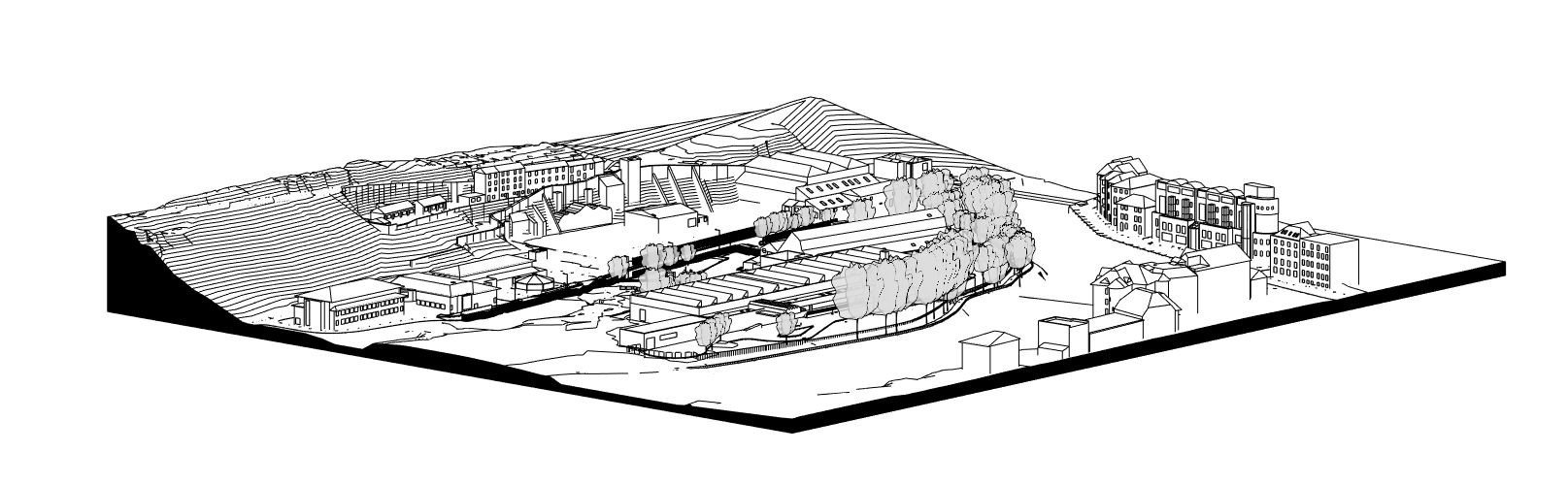
To provide the Design Team with adequate building, existing services, site, and contiguous information to carry out the design work required for an Institutional development to prepare accurate planning, tender and construction documentation.


People
Murphy Geospatial assembled an experienced team to complete this work. Ground based Topographical survey team worked in tandem with our UAV/ drone survey team to capture all the required geospatial data. This data was processed in the office by our BIM team in line with client requirements.
Process
Engage
Early engagement was key to understand exactly what the client required. A detailed discussion and a full review of the specification was critical. Similar projects have been completed for this client in the past so Murphy Geospatial already had an excellent understanding of the scope and specification.
Plan
Careful planning was required to execute the site works. Access was arranged to the site as well as ATC permission for the UAV flight. Processing of data was also planned and broken down into stages in line with the client’s design schedule.
Execute
The works were executed within the allotted tender schedule time frame.
Deliver
The following was delivered to the client:
3D topo surface model of the site
Contextual Revit Model including buildings and site features.
Review
Expectations were met and the client could proceed with the design stage of the project.
Technology


The aerial survey was carried out by a fully qualified IAA licenced pilot flying one of our phantom 4 RTK drones. The ground based topographical survey team used a Leica TS16 Total station and Leica GPS Base & Rover.
Contact
For more information on this project, please contact our Cork Office at info@murphygs.ie or call us on +353 (0)21 489 5704