
PROJECT
Topographic & Measured Building Survey for OPW
Client
> Office of Public Works
>Property
>Public
>3D Laser Scanning
> BIM
> Digital Construction
>Public Property - Individual Asset
> Public ESG Baseline
> Public Portfolio Measurement
Location
> Ireland
About this Project
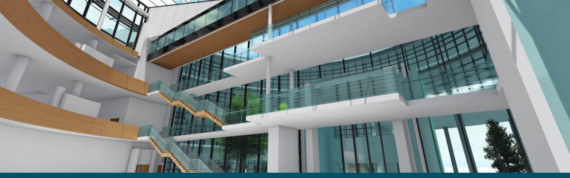
The Office of Public Works (OPW) are in the process of surveying properties as part of OPW’s asset management delivery programme. To enable the OPW to complete this, both topographic and building surveys are required for each property, including their head office in Trim, Co Meath. A comprehensive set of drawings were requested as well as shapefiles that could populate the Property Management Database that the OPW are developing. To meet OPW’s requirements Murphy Geospatial designed a workflow where the BIM output would be the key output to be created, from which all other requirements were derived: 2D plans with furniture arrangement, elevations and sections all were extracted from the model and shapefiles depicting functional areas were created from exported plan drawings. We provide professional measured building survey solutions.
Survey type
- Topographic Survey
- 3D Laser Scanning
- Measured Building Survey
- Building Information Model
Equipment
- Leica Total Station TS15
- Leica GNSS Receiver GS14
- Z+F 5010C Laser Scanner
Deliverables
- Point clouds
- 2D Drawings (Plans, Sections and Elevations)
- Shapefiles
Contact
For more information on this project, please contact our UK team at info@murphygs.com or call us on +44 203 598 3775