
Our
projects_
PROJECT
IAPS Survey – TEN-T Priority Route Improvement Project, Donegal – Ireland
Client
> RPS Consulting Engineers
Sector/Market
> Natural Environment
Services
> GIS, Invasive Alien Plant Species (IAPS) Surveys, Ecology
Location
> Donegal, Co. Donegal, Ireland
Project summary
Murphy Geospatial were engaged by RPS/Barry Transportation to carry out an invasive species topographical survey for the three sections of the TEN-T Priority Route Improvement Project, in accordance with the TII Standard: The Management of Invasive Alien Species on National Roads GE-ENV-01104.
The brief
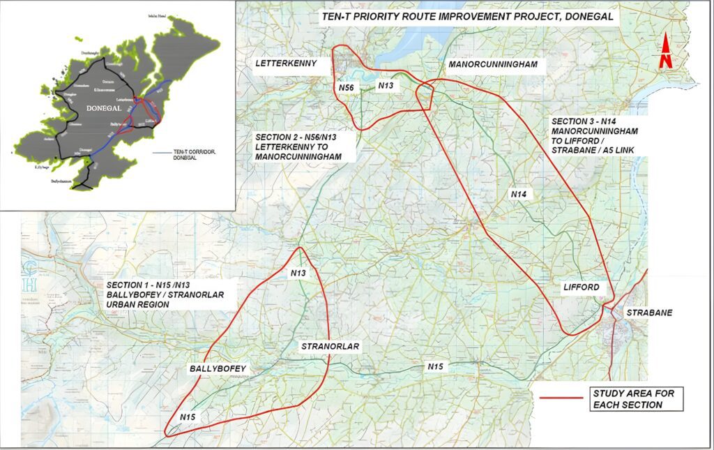
Murphy Geospatial were tasked by RPS Consulting Engineers to identify and map all Invasive Alien Plant Species (IAPS) within 3 areas of the TEN-T Priority Route Improvement Project. These areas included the N15/N13 Ballybofey / Stranorlar Urban Region, the N56/N13 Letterkenny to Manorcunningham and the N14 Manorcunningham to Lifford / Strabane / A5 Link.
The infestation of each site was surveyed to a high degree of accuracy (+/- 25mm) using RTK corrected GPS vs. traditional methods of capture through mobile or tablet GPS devices (+/- 2m). This increase in accuracy enabled the client to design the road feature with higher confidence and plan targeted eradication/avoidance. The perimeter and identification of each IAPS encountered was captured by a qualified ecologist and thereafter presented to the client via GIS datasets and visual 2D maps.
The challenges
Difficulties accessing areas was occasionally encountered due to the density of vegetation within riparian woodlands especially. Generally, very few issues or delays were encountered and the co-operation from private landowners for access was facilitated with the aid of the Land Liaison Officer.
Our work
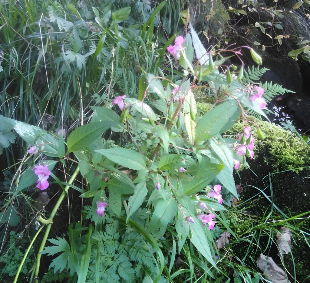
We were able to provide our client with accurate and precise geospatial data regarding the location, distribution, species type and abundance of all IAPS within the survey areas. This data was delivered to the client with an accuracy tolerance of +/- 25mm both for Easting and Northing, +/- 25mm vertical which resulted in the accurate location and quantification of plants species by type and by abundance.
Results
The delivered IAPS survey provided a means of planning for management, treatment or removal, if needed. The resulting data submitted to the client also provided a baseline of information which can be referred to for future monitoring.
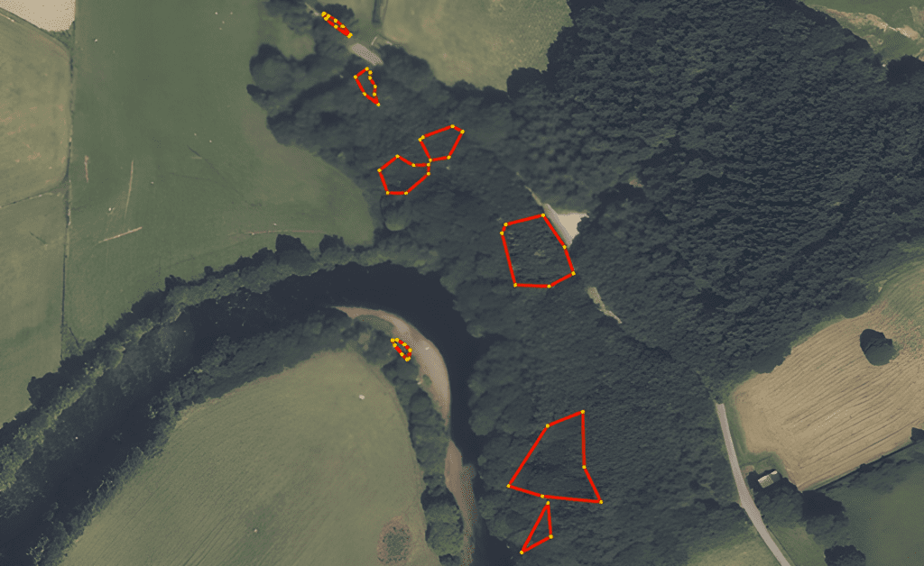
Our IAPS survey was a key part in this project by delivering a more efficient, complete design through accurate, verified geospatial data. Using our accurate and precise survey techniques allowed us to:
- Show both geographical distribution and metadata in the same survey.
- Quantify IAPS quickly for management, eradication and/or avoidance, provide a baseline toe track future changes in distribution in future.
- Provide clients with geospatial certainty in quick turnaround deadlines.
Contact
For more information on this project, please email info@murphygs.ie or call us on +353 (0)45 484 040