
Our
projects_

PROJECT
Flood Relief Schemes – Hydrographic Surveys, UK
Client
> Confidential
Sector/Market
> Natural Environment
Services
> Hydrographic Surveys
Location
> Various Locations – UK

Project summary
Murphy Geospatial provided surveying services for a flood relief scheme which included:
- Survey Control,
- Topographic Surveys,
- Threshold Surveys
- Channel, Structure and Flood Defence Surveys and
- Post-flood Recording Surveys
Murphy Geospatial is proud to have delivered over 20 projects through the framework to assist the development of critical flood relief schemes. Our certified data is used to inform and build flood models so that the impact of future storm events can be predicted, helping to plan and design appropriate relief measures in some of the most affected towns and surrounding villages.
People
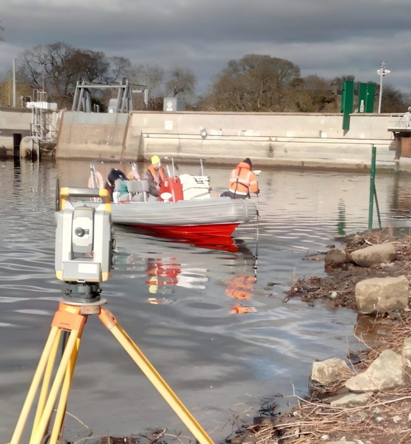
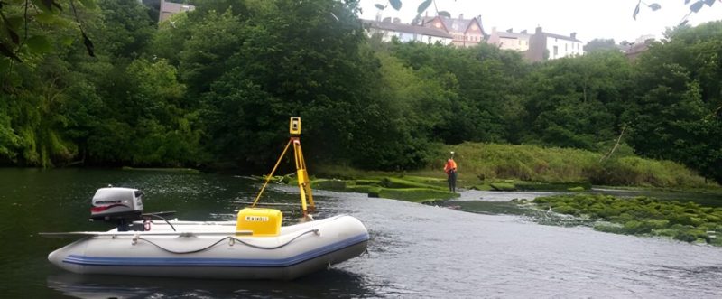
Our Hydrographic Surveying teams are trained in manual handling, boat operations, use of specialist surveying equipment (including GNSS and sonar), first aid, and confined space working. Combining these specialist skills with our ability to record high-quality, repeatable geospatial data means that our teams are ideally suited to deliver these projects with certainty.
Process
Engage
Building on our experience in delivering geospatial solutions for over 40 years, our team of experts provided best practices and where necessary, engaged with the client to clarify requirements to ensure there is no ambiguity in the project scope to ensure the desired project outcome is achieved.
Plan
Upon award of the contract, Murphy Geospatial coordinated with multiple stakeholders to ensure all necessary preparations were made. Method statements and GIS work packs are prepared for site teams. Health and Safety of our staff and the public is our top priority and each watercourse is assessed individual to determine the specific risks.
Execute
Our experienced hydrographic and topographic surveying crews mobilise to undertake the works in accordance with necessary standards and regulations. Job packs are prepared to arm the field staff with all details required to ensure the data is collected in the correct location. The field teams understand the ultimate use of the field data and use their experience to capture additional data that might not have been foreseen in the effort to build the most accurate flood model possible.
Deliver
Murphy Geospatial used CAD and GIS workflows to process the field data into the required flood modelling input files. Photos and videos of each cross-section inform the flood modellers of the channel conditions and vegetation. Photos of each property surveyed as part of the threshold surveys are delivered. The workflows have been developed over 10 years and are best in class.
Review
We continue to engage with our clients post-delivery to ensure the project requirements have been met.
Technology
We use robust surveying equipment that can withstand the harsh aquatic environments met by our field staff. GNSS technology and total station working in heavily vegetated areas ensured that the data was captured to the required accuracy. Boat working is undertaken in deeper channels using sonar methods.
Contact
For more information on this project, please email info@murphygs.com or call us on +44 (0)192 362 4800
Find out more about our Hydrographic Surveys offering here.