
Our
projects_
PROJECT
Dublin Airport, NASAH – Dublin, Ireland
Client
> Confidential
Sector/Market
> Utilities
Services
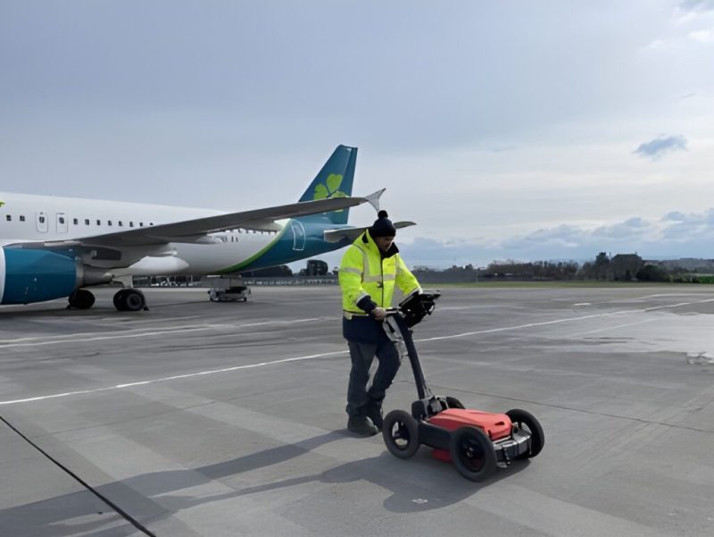
> Underground Utility Surveys, Topographical Surveys, Hydrographic Surveys, 3D Laser Scanning, Control Network
Location
> Dublin, Ireland
Project summary
Dublin Airport is one of the busiest airports in Europe with around 32 million passengers recorded passing the terminals in 2023. Murphy Geospatial was engaged as the main survey consultant at the planning and design stage of this major redevelopment of the North and South Aprons of the airport. The survey zones extended across large areas of the North and South Aprons and included surveys of various buildings on the campus. Murphy Geospatial has a strong understanding of the DAA projects due to long-term client engagement.
The brief
The project brief included installation of a new control network, PAS128 underground utility surveys, topographical surveys, laser scanning surveys and bathymetric surveys. The control network was designed in conjunction with the client to meet their needs for future projects, and all surveys were to be related to this control network. The final delivery included GeoBIM models of underground utilities and buildings (.dwg and .rvt formats), and CAD models for the topographical and bathymetric surveys.
The challenges
More than half of the survey zones were within the security restricted airside areas of Dublin Airport, which posed a major challenge to the Project Management Team and survey crews. Murphy Geospatial approached the surveys by planning airside and landside works separately. Weekly meetings were held with both the landside operations and airside operations teams within Dublin Airport to plan the upcoming works in advance and avoid disruption to surveys or airport operations. This included booking aircraft stands in advance, management of traffic on both sides of the security fence, and notifications to relevant stakeholders. Murphy Geospatial was able to complete all surveys without affecting the operational capacity of the airport.

Our work
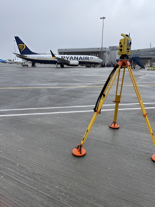
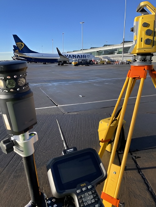
A new control network was installed, measured and calculated ahead of mobilisation of the crews for all of the different survey disciplines. Once the calculated coordinates were available, all teams were mobilised to commence surveying of the required detail. Specialist crews from four different departments of Murphy Geospatial were mobilised in line with the project programme. A total of 10no. crews were mobilised to site to undertake the surveys.
Murphy Geospatial commenced data processing one week after mobilisation of the survey crews. During processing the data was checked using in-house developed scripts which check certain aspects of the data to ensure the quality of the survey. Various processing software packages were employed including Trimble Business Centre, AutoCAD, Civil 3D, Revit and Starnet.
Our team
Our Subsurface team collaborated efficiently with the client and various stakeholders through effective communication throughout the project, enabling the project to progress seamlessly, minimising any disruption to airport operations.
Results
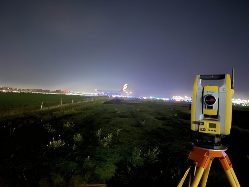
The client employed two Consulting Engineering firms who reviewed all survey deliverables before providing feedback to Murphy Geospatial. A number of meetings were held throughout the final weeks of the project where the surveys were discussed and explained. This led to a fast sign-off which allowed the client to move to the design stage of the project as quickly as possible.
Quality Control
Each survey deliverable was reviewed by the relevant Department’s Quality Control Manager, in line with Murphy Geospatial procedures. All Quality Control Checklists were completed, approved, and filed in the relevant project file.
The Murphy Geospatial team delivered geospatial certainty, enabling the client to make informed decisions throughout the redevelopment project.
Contact
For more information on this project, please email info@murphygs.ie or call us on +353 (0)45 484 040