
Our
projects_

PROJECT
Athy Flood Relief Scheme, Ireland
Client
> Kildare County Council
Client Representative
> RPS
Sector/Market
> Infrastructure & Natural Environment
Services
> Hydrographic Surveys, Topographical Land Surveys
Location
> Athy, Co. Kildare
Project summary
Kildare County Council required a topographical hydrographical and threshold survey of the built and natural environment in the environs of Athy Town, Co. Kildare. The works were carried out in accordance with OPW’s ‘Survey Specification, Flood Risk Management Projects, 2023’ survey standard.
The brief
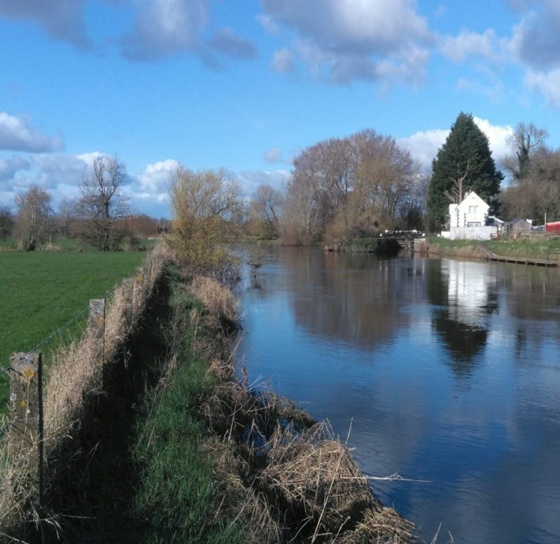
We were tasked by the client to conduct a topographic survey of the recently developed Athy Distributor Road as part of the works. A hydrographic survey was also conducted in the River Barrow and Grand Canal as part of the project requirements. Hydrographic survey data captured and delivered to the client included: resurveying of previous CFRAM cross sections, infill or new cross sections, flood defences surveys, lock gates, bridges and hydrometric gauging stations. Threshold levels were taken at over 1,000 properties.
Our role was to ensure the geospatial accuracy of the topographic and hydrographic survey data required to progress the implementation of the Athy Flood Relief Scheme. We also observed, reported and surveyed additional features encountered while carrying out field operations that would impact on flood models such as depressions throughout embankments and previously unknown culverts discharging into channels.
The challenges
Simply accessing watercourses during heavy rainfall events proved to be challenging with fast waterflow and the need to launch vessels. Our experienced teams carried out on-site safety assessments prior to proceeding with the works.
Accessing private property was needed, for example: where designed hydrographic survey areas were located. Access through private property was generally facilitated by the public due to the benefits and nature of the project once communicated by our field surveyors.
Where private property that could not be entered or where private land owners were not present during the time of the initial survey; a revisit to the household or area was therefore required which lead to a prolonged survey time. Generally, compliance was often facilitated and no issues were identified through the limited areas omitted from the survey due to access issues.
Our work
We provided topographic and hydrographic survey data, with all information and data being delivered to the client linked to a single model.

Results
Our captured geospatial survey data allowed the client to accurately and precisely build a flood model to identify areas prone to flooding during significant rainfall events.
In essence, Murphy Geospatial facilitated delivery of accurate and quality geospatial data that supports the cost-effective management and design of future infrastructure needed to deliver the requirements of the Flood Relief Scheme.
Contact
For more information on this project, please email info@murphygs.ie or call us on +353 (0)45 484 040