
Our
projects_
PROJECT
50 Berkeley Street – Property & Inspection Surveys, UK
Client
> Confidential
>Property
>Heritage
>Building Inspection
> Inspection
> Property Surveys
>Digital Capture - Level 0
> Digital Capture - Level 1
> Digital Capture - Level 2
> Digital Capture - Level 3
> Digital Capture - Level 4
> Digital Capture - Level 5
> Property Measurement & Consulting
Location
> Westminster, London, UK
Project summary
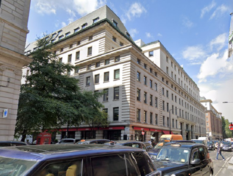
Our client required information to assist them in determining the quantity of stones that could be re-used and adapted to an 18th-century historical limestone façade which consists of the principal front of a building, facing the main street.
Due to the natural deterioration of the building’s structures, renovation works needed to be undertaken and the client was keen to preserve the original historical front of the building. Therefore, Murphy Geospatial was tasked to determine the thickness of individual stones in two elevations of the nominated façade.
The brief
The purpose of the survey was to map the thickness of the façade stones on all nominated elevations.
Our work
The survey was undertaken using Ground Penetrating Radar (GPR) system, a non-intrusive method of surveying the subsurface to investigate buried assets.
The challenges
Access to the nominated elevations was two-fold. For one elevation, access was available via an internal floor plate and for the second elevation, solely through the windows.
Results
The GPR had successfully established the stone thicknesses of the scanned elevations.
All the collected site data was analysed, and the information on the stone thicknesses was overlayed on photographs of these elevations for easy identification and reference. The comprehensive report also included photographs, sketches, and radargrams.
The data collected was analysed and processed by a team of experienced geophysicists who then identified all the elements present within the façade (which include various stone thicknesses and steel structural columns as seen below).
The report was presented through our secure web-based portal where the client can view, manage, measure and share all geospatial data in one place.


Contact
For more information on this project, please email info@murphygs.com or call us on +44 203 598 3775