
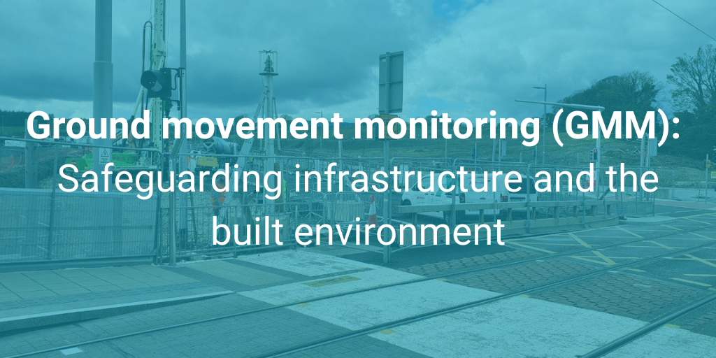
Get to Know Ground Movement Monitoring
During construction or renovation, Ground Movement Monitoring (GMM) is indispensable for ensuring infrastructure stability and safety. This technology tracks soil and rock movement, deformation, and other ground condition changes, validating design assumptions and enabling project teams to manage potential risks proactively. GMM is crucial for aligning predicted heave or settlement with actual construction outcomes, enhancing decision-making, and optimising construction processes.
Ground Movement Monitoring value extends beyond project completion, offering insights for ongoing asset management and maintenance. Continuous monitoring facilitates early detection of ground condition changes, safeguarding infrastructure integrity over time. For stakeholders in construction, and infrastructure such as road, rail, tunnels, and bridges, GMM represents a strategic investment in project success and long-term asset viability. It ensures projects are built on a foundation of data-driven insights, minimising disruptions and extending the lifespan of critical infrastructure. By incorporating GMM, we uphold the highest standards of safety, efficiency, and reliability in infrastructure development.
Ground Movement Monitoring: LUAS tramway at Naas Road and Kylemore Road Junction – Dublin, Ireland
In the busy and congested area west of Dublin, the installation of a 110kV power cable from Inchicore to Airton Substation required precision and care to limit the risk of disruption and compromised safety. The project required Horizontal Directional Drilling (HDD) beneath the LUAS red line tram tracks, raising concerns about potential vibrations and ground movements affecting the railway infrastructure. Murphy Geospatial provided New Century Engineering with a solution to implement a continuous, real-time monitoring system capable of millimetre accuracy to safeguard against these risks.
Innovative Solutions for Complex Environments
Navigating the complexities of urban infrastructure and the inability to attach instruments directly to the railway posed significant challenges. To overcome these, Murphy Geospatial, in collaboration with Leica experts, deployed a sophisticated monitoring solution. This included the use of an AMS system strategically placed on a 3-metre pillar to monitor approximately 60 metres of critical tram track. The setup was complemented by precise levelling and strategically placed vibration sensors, ensuring comprehensive coverage without disruption to the bustling junction.
We carefully selected monitoring locations, ensuring the seamless installation of equipment, and diligent data processing. All activities were conducted adhering to the highest standards of safety and efficiency, in line with Health & Safety Authority regulations and our own stringent policies.
The Results: Precision Monitoring and Informed Decision-Making
The integration of advanced technology allowed for the uninterrupted transmission of data to a central database, with real-time insights accessible through the GeoMoS NOW! platform. This enabled stakeholders to visualise and analyse data on demand, facilitating prompt, informed decision-making. The use of Leica GeoMoS software offered a versatile monitoring system, capable of adapting to the unique demands of the project.
By setting precise trigger levels and implementing robust alarming protocols, we ensured any potential risks were identified and addressed quickly. The approach included tailored alarming schedules for construction and non-construction hours, enhancing the responsiveness to any critical alerts.
This strategic monitoring not only provided reassurance but also demonstrated our commitment to precision, safety, and client needs. The project is a testament to the importance of real-time monitoring in managing the complexities of urban infrastructure projects.