
Our
projects_
PROJECT
WPOS GPR Survey – Oxford Street Rehab, UK
Client
> Confidential
Sector/Market
> Infrastructure
Services
> Subsurface Investigation
Location
> Oxford Street, London – UK
Project summary
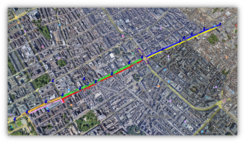
The client requested a comprehensive utility survey along a 2km stretch of Oxford Street as part of the Oxford Street District scheme for Westminster City Council. This £90 million public realm project aims to enhance the street and surrounding district for shoppers, tourists, workers, and residents.
Our work
The survey aimed to deliver comprehensive information about underground features, identifying potential challenges for the proposed Public Realm scheme in this area. Our utility surveys are designed to pinpoint and verify the location and depth of buried services, features, materials, and voids, eliminating the need for disruptive excavation. This project required the use of electromagnetic location surveys (EML), ground penetrating radar surveys (GPR), and mobile GPR to ensure full coverage of the road and footpath, enabling us to accurately map the subsurface utility network.
The challenges
Results
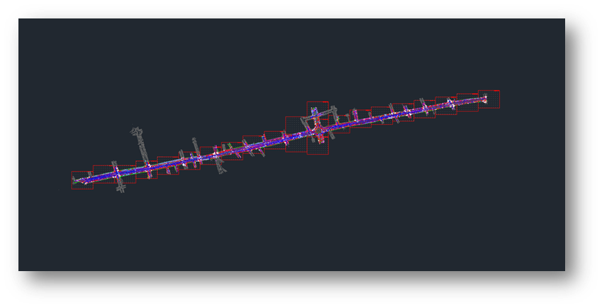
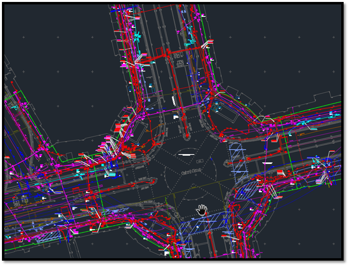
Our team of CAD technicians and geophysical experts conducted comprehensive processing and analysis of the utility and GPR data, extracting the finalised details. The information was integrated with the topographical data supplied by the client and delivered as a CAD drawing, which was made accessible via our online hosting Portal.
Contact
For more information on this project, please email info@murphygs.com or call us on +44 (0)192 362 4800