
What is 3D Laser Scanning?
3D laser scanning (sometimes termed LIDAR, cloud point surveys or point clouds) is used to accurately capture the geometry and details of objects or environments through the capture of millions of 3D points in highly detailed point clouds. Point cloud data capture allows for accurate 3D representation of objects and environments, enabling precise measurements, modelling, and analysis for industries like architecture, engineering, and construction. This enables more effective quality control, risk mitigation, cost reduction and clash detection at all stages of a project or asset lifecycle.
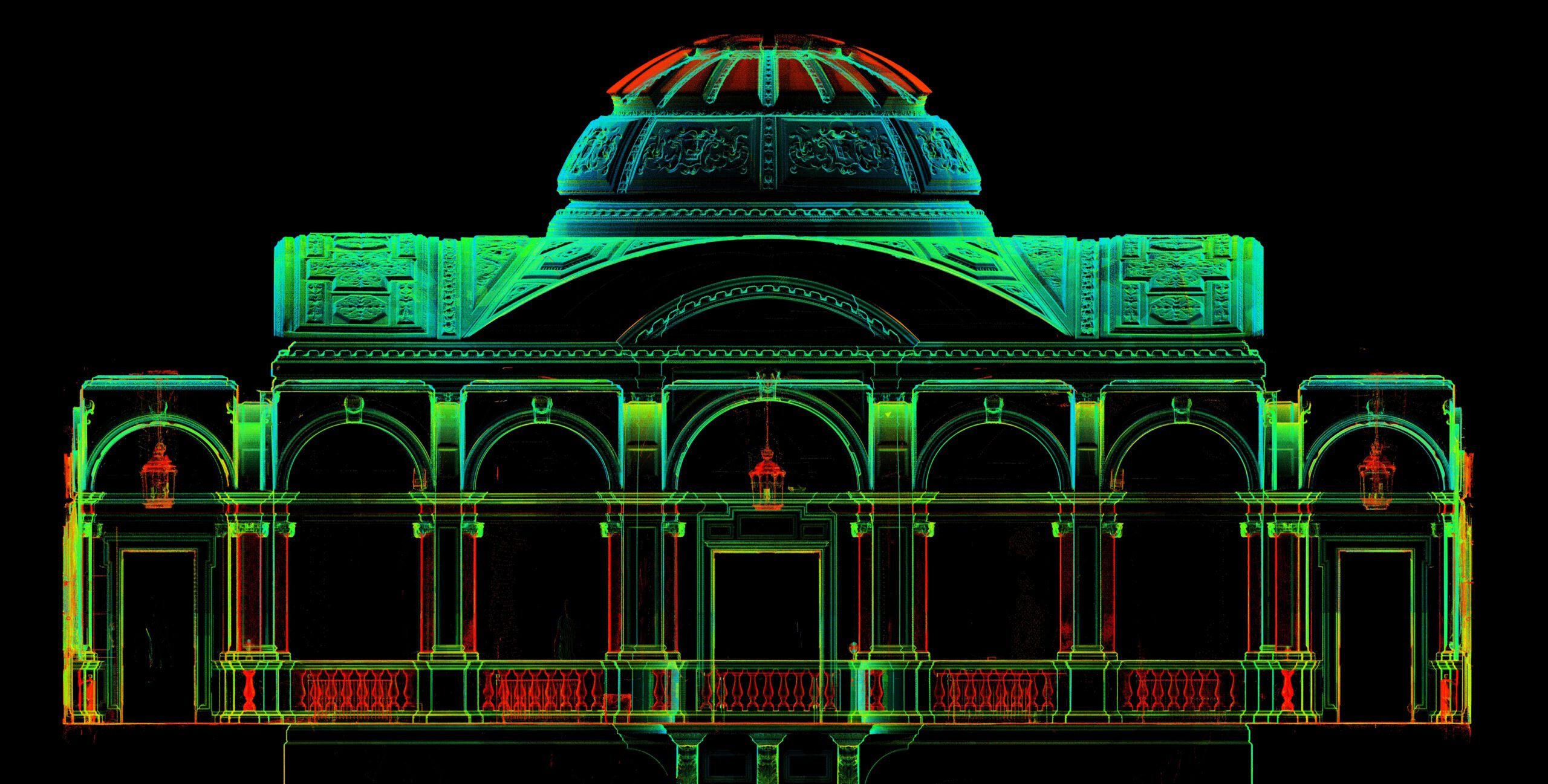
What problems can 3D Laser Scanning solve?
- Accuracy in measurement and documentation.
- Design verification and quality control.
- Streamlining construction processes.
- Asset management and inventory tracking.
- Historic preservation and restoration.
What are the benefits of 3D Laser Scanning?
- Quick and efficient data collection, reducing project timelines and costs.
- Improved safety by minimising the need for manual measurements in hazardous areas.
- Seamless integration with BIM software for enhanced design and construction processes.
- Ability to capture intricate details and dimensions for comprehensive documentation.
- Complete data coverage of surveyed elements ensuring accuracy and data redundancy
- A full visual record of captured elements allows for site inspections / visualisations along with the measurement dataset.
What can 3D Laser Scanning be used for?
To improve accuracy, efficiency, and safety in infrastructure projects by quickly capturing detailed data to aid in planning, design, and maintenance.
To allow for precise measurements and quality control, leading to optimise production processes, reduce downtime and cost savings.
To provide accurate measurements and detailed scans of properties, allowing for efficient assessment, planning, and design.
To provide detailed data for mapping terrain, monitoring vegetation changes, measuring geological features and improve conservation efforts.
To improve efficiency, safety, and accuracy of asset inspections and maintenance while reducing downtime and costs.
To enable mapping of utility infrastructure, reducing the risk of errors and improving efficiency in maintenance and planning.
Got a question? Speak to our team today.
For more information on how we manage your data, please see our privacy policy