Our
projects_

N20 - Cork to Limerick 1

PROJECT

N/M20 Cork to Limerick Project, Ireland

Client
> Limerick City and County Council

Sector
>
Infrastructure
Sub Sector
>
Road
Services
>
3D Laser Scanning
>
Control Network
>
Hydrographic Surveys
>
LIDAR Mobile Mapping
>
Topographical Land Survey
>
UAV Surveys
Solution
>
Geospatial Mapping
>
Geospatial Engineering
>
Investigations

Location
>  Cork to Limerick, Ireland
N20 - Cork to Limerick 2

Project summary

Improving connectivity between the cities of Cork and Limerick, and ultimately Galway, by:

  • Facilitating the safe and efficient movement of people, goods and services on the transport network both now and in the future
  • Reduced land transport journey times, and
  • Improved journey time reliability

The brief

Murphy Geospatial was called upon to provide the topographical survey required to inform the design and development of the Preferred Transport Solution for the N/M20 route. This included control networks, topographical mapping, Mobile mapping, hydrographic river sections.

N20 - Cork to Limerick 6

The challenges

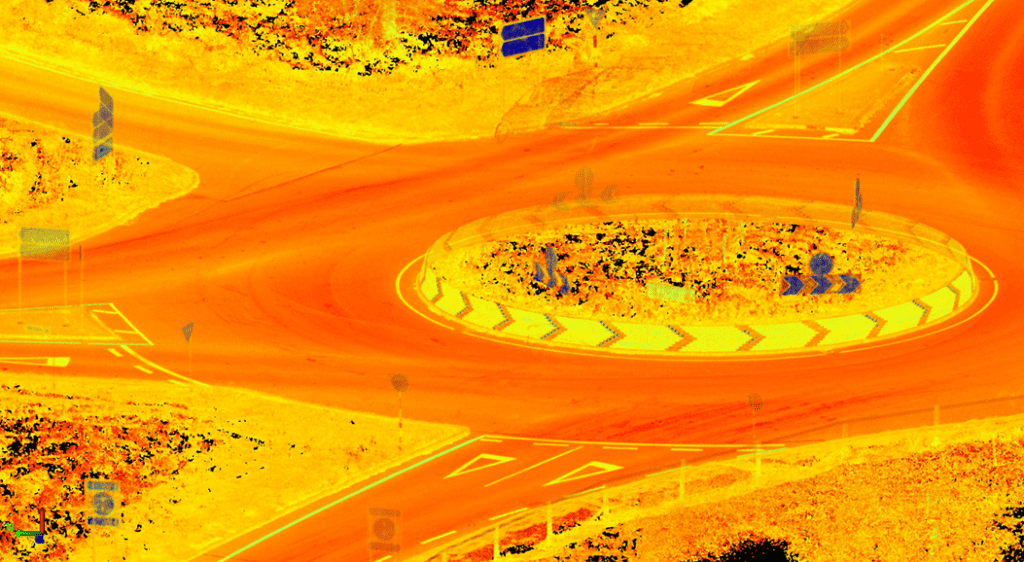
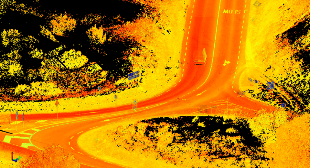
With a project of this size the survey of the roads and therefore the level of traffic management required posed a significant challenge. The project was split into two main tasks. The topographical survey area and secondly, the survey of additional roads. These additional roads were surveyed by mobile mapping. The use of mobile mapping on these additional roads significantly reduced the level of traffic management required on the project and therefore the level of disruption to the public.

N20 - Cork to Limerick 4

Our work

This is an 80km linear project between the two major cities of Limerick and Cork. A robust control network was established along the route at an early stage. We installed a Primary Control Network in the form of static base lines every 1.5km and observed secondary control traverses between these baselines. The secondary control is located at 150m intervals. Part of the project was going through the corridor of existing N20 and other part in green fields. A mixture of UAV, Mobile Mapper, SX10 Laser scanning and traditional topographical survey techniques were used to collect all the required information.

Our team

The Murphy Geospatial team worked collaboratively with the client; ensuring effective communication and quick solutions are provided where needed throughout the entire project.

N20 - Cork to Limerick 5

Results

The project is still ongoing but geospatial information are being successfully delivering to the client on the phased basis, enabling client to make informed decisions on the design and development of the M20 route.
N20 - Cork to Limerick 3

Contact

For more information on this project, please email info@murphygs.ie or call our Ireland Head Office on +353 (0)45 484 040