Project summary
Pocket Living specialises in creating affordable Pocket homes exclusively for local first-time buyers, allowing those on lower incomes to get their foot on the housing ladder. Dolman Close is a site in north London that has been selected for these new developments.
The brief
In order to corroborate early-stage feasibility surveys, Murphy Geospatial was commissioned to carry out topographical and utility surveys. These will form the basis of the development designs, utilising the up-to-date, accurate, and comprehensive data set recorded by Murphy Geospatial.
The challenges
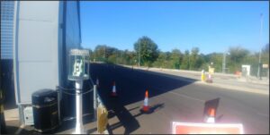
This is a small site surrounded by vegetation and overlooked by neighbouring properties. The challenge was to carry out discreet, efficient, integrated surveys of this brownfield site.
Our work
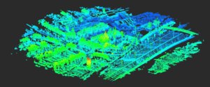
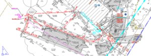
We established a survey control network tied to OS to integrate all surveys. We then carried out a topographical survey using a combination of terrestrial total station observations together with UAV photogrammetry to produce ortho-photography and point cloud information. Finally, we carried out a PAS:128 Utility survey using GPR and EML to undertake a Type B M2P methodology.
Our team
We used 3 specialist teams from our Topographical, Subsurface and UAV departments.
Results
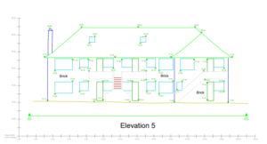
Being able to offer all services within Murphy Geospatial allowed for the perfect integration of results. The UAV data enabled us to detail the surrounding elevations not visible from the ground, whilst all 3 surveys were tied to the same survey control and the same rigorous quality control regime. The final drawings were issued as a comprehensive record of AutoCAD DWG drawings.